
What is recorded here
Holy bush marked as Thornbush on all editions of the OS 6-inch maps. Area marked on OS 6-inch map visited but no surface remains visible of any holy bush. Described by Healy (1972, 150) as ‘The site of St. Kevin's Bush is on the northern bank directly above the Keeve (WI023-048----). The bush no longer exists but there is still a semi-circular bank twelve metres across partly cut out of the hill slope and partly built of large boulders and stones. Within the curve of this bank is a line of dry stone walling. St. Kevin's Road (WI023-001----) lies on the north side of this feature.
Compiled by: Caimin O'Brien
Date of upload: 19 November 2012
Linked to St. Kevin, the site is traditionally associated with a holy bush, believed to have been a place of prayer and pilgrimage. The bush is said to have been marked by the saint’s presence and may have been a site of local healing traditions, though no physical remains are visible today.
The monument record does not grant public access. Check the route and ask the landowner before entering private land.
- What survives
- Recorded monument
Places near here
 St Kevins KeeveHoly well · 13 yd
 Glendalough Round TowerHeritage attraction · 256 yd
 CloigtheachRound tower · 256 yd
 Our Ladys Church (in ruins)Church · 296 yd
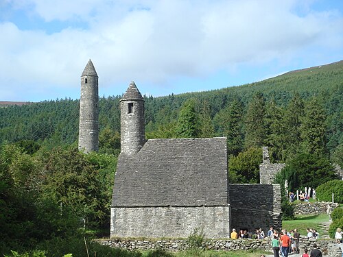 GlendaloughHeritage attraction · 318 yd
 The Priests Ch. or St. Kevins Library (in RuinsChurch · 324 yd
 Poulanass WaterfallWaterfall · 1.0 mi
 Native Woodland Trust: Paddock Hill ReserveWood · 2.1 mi
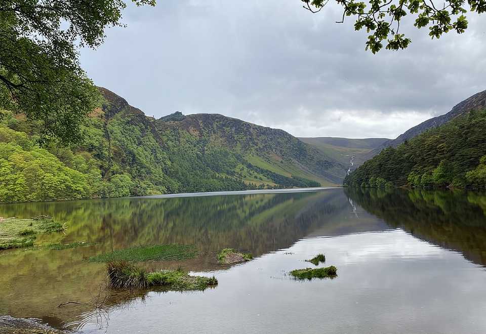 Glendalough CragsCliff · 2.4 mi
 CamaderryMountain / peak · 2.6 mi
 MullacorMountain / peak · 2.7 mi
 Shay Elliott memorialMemorial · 3.1 mi
Other information
Photo: Credit not shown in the picture search · Rights wording not checked; contact us if this picture should be removed