
What is recorded here
The Rocking Stone is shown as a mountain / peak on the public map of Perth and Kinross. The saved point is the map point or the centre of its mapped shape.
This does not grant access. Check current paths, opening conditions and ownership before entering.
Places near here
 Craig A BarnsNatural Feature (period Unknown), Rocking Stone (period Unassigned) · 17 yd
 Lady Charlotte's CaveCave · 612 yd
 Polney CragCliff · 886 yd
 Dunkeld ParkPit Alignment (prehistoric) · 1033 yd
 King's SeatFort (early Medieval), Hearth(s) (early Medieval) (550)-(645), Crucible(s) (early Medieval), Crucible(s) (early Medieval), Mould(s) (stone)(early Medieval) · 1044 yd
 Dunkeld, Dunkeld HouseCountry House (20th Century), Hotel (20th Century) · 1452 yd
 Battle of DunkeldMajor battlefield · 1626 yd
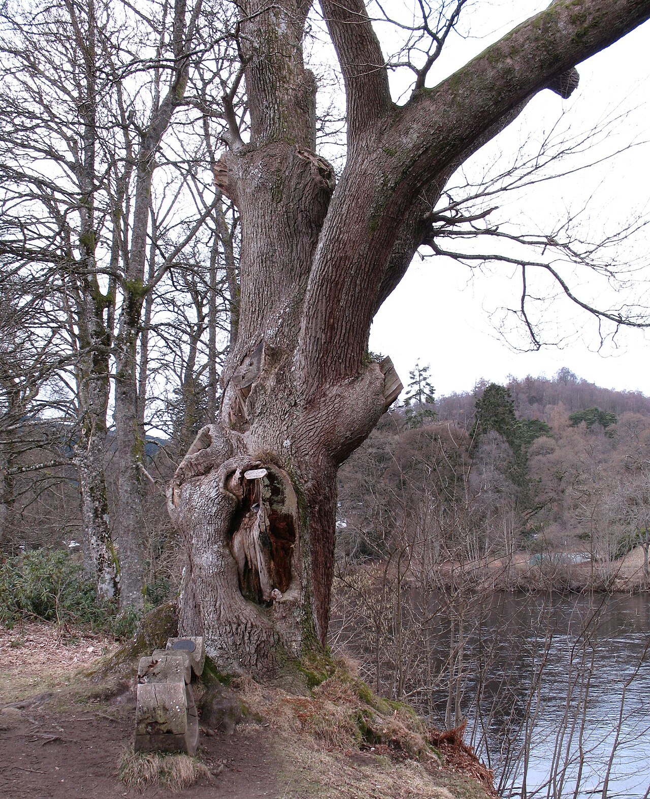 Niel Gow's OakOak · 1671 yd
 The Parent LarchEuropean Larch · 1.0 mi
 The Old RectoryMemorial · 1.1 mi
.jpg?width=1280) Cathedral GatesMemorial · 1.1 mi
Cathedral GatesMemorial · 1.1 mi Pine Cone PointViewpoint · 1.1 mi
Other information
Photo: Mick Garratt · CC BY-SA 2.0