What is recorded here
The Moor is shown as a forest on the public map of Chichester. The saved point is the map point or the centre of its mapped shape.
This does not grant access. Check current paths, opening conditions and ownership before entering.
Places near here
 Ambersham BridgeListed building · 209 yd
 Gatepiers at Moor Farm to the North West of the Farm HouseListed building · 318 yd
 John Cowdray ArboretumForest · 1217 yd
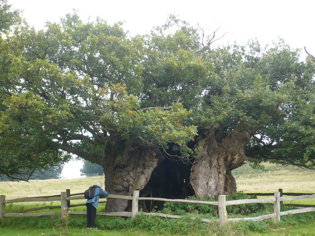 Queen Elizabeth OakSessile Oak · 1538 yd
 Statue within St Mary, EasebourneMonument or public art · 1.4 mi
 Cowdray CastleCastle · 1.4 mi
 Cowdray: a fortified medieval house and part of its landscaped groundsScheduled monument · 1.5 mi
 Midhurst CastleRuins · 1.6 mi
 Midhurst MuseumMuseum · 1.7 mi
 The Cobden ObeliskMonument or public art · 2.0 mi
 Waterfall under bridleway bridgeWaterfall · 4.1 mi
 Older Hill SpurViewpoint · 4.3 mi