What is recorded here
The Long Stone is recorded as a archaeological place in County Down. Its open map record supplies this location and any linked names or public references.
Places near here
 AP Cropmark- Possible enclosure (rath?) in BallybeenAP Cropmark- Possible enclosure (rath?) · 1122 yd
_-_geograph.org.uk_-_3201578.jpg?width=1280) Presbyterian ChurchChurch · 1164 yd
Presbyterian ChurchChurch · 1164 yd Cleland MausoleumMausoleum · 1242 yd
 Dundonald MoatArchaeological place · 1243 yd
 Comber GreenwayWalking route · 1.4 mi
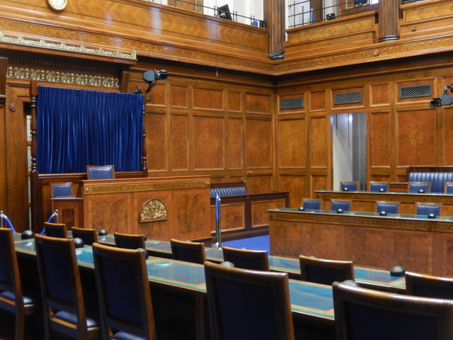 Assembly ChamberHeritage attraction · 2.0 mi
 The Somme MemorialMemorial · 2.1 mi
 Braniel HillMountain / peak · 2.4 mi
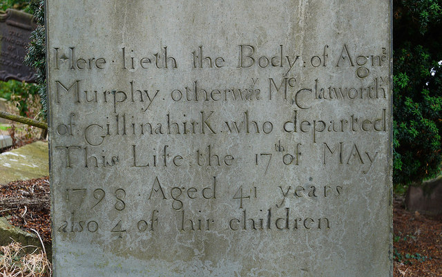 CHURCH RUINS & GRAVEYARD: KNOCK/DUNDELA in KnockCHURCH RUINS & GRAVEYARD: KNOCK/DUNDELA · 2.7 mi
 FORTIFICATION (site of): MOUNT ALEXANDER CASTLE in Mount AlexanderFORTIFICATION (site of): MOUNT ALEXANDER CASTLE · 2.8 mi
 CairngaverMountain / peak · 2.8 mi
 Cairn WoodForest · 2.9 mi