What is recorded here
The Green Road is recorded as a walking route in County Down. Its open map record supplies this location and any linked names or public references.
- Operator
- Armagh City, Banbridge and Craigavon Borough Council
Places near here
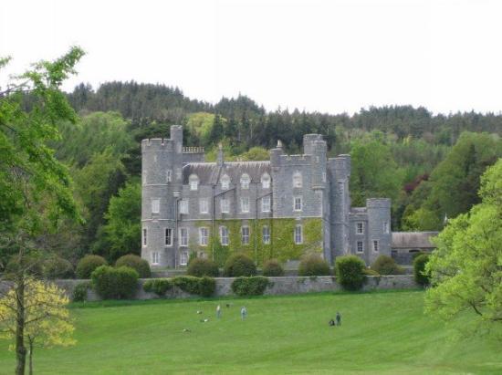 CROSS, formerly built into school, now at Castlewellan Forest Park in DrumadonnellCROSS, formerly built into school, now at Castlewellan Forest Park · 1.0 mi
 Post OfficeHouse · 1.2 mi
 possible CHURCH site: DRUMLYN (unlocated) in Ballyroneypossible CHURCH site: DRUMLYN (unlocated) · 1.3 mi
 CASTLE & RATH reused as BAILEY: SEAFIN CASTLE; Magh Cobha; Moycove in SeafinCASTLE & RATH reused as BAILEY: SEAFIN CASTLE; Magh Cobha; Moycove · 1.5 mi
 ENCLOSURE in BallywardENCLOSURE · 1.5 mi
 The Brontë CentreVisitor information · 2.0 mi
 CHURCH & GRAVEYARD: DRUMGOOLAND in DeehommedCHURCH & GRAVEYARD: DRUMGOOLAND · 2.2 mi
 The Moat PadWalking route · 2.9 mi
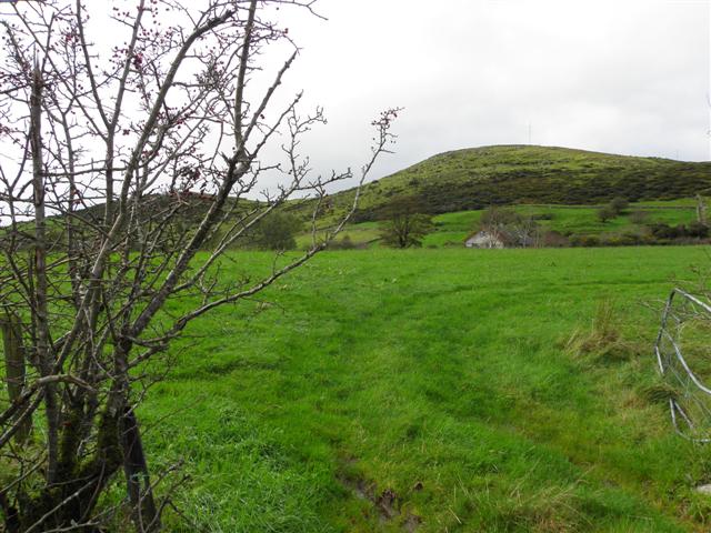 Deehommed MountainMountain / peak · 3.0 mi
 TOWER-HOUSE: RATHFRILAND CASTLE in RossconorTOWER-HOUSE: RATHFRILAND CASTLE · 3.4 mi
 SlievenaboleyMountain / peak · 3.5 mi
 Kilcoo GraveyardWalking route · 3.5 mi