What is recorded here
Two parallel systems of banks and ditches (L c. 1.6km E-W) cut off a loop of the River Shannon to the N which contains c. 2 km(2). This is identified as a defensive earthwork of Connaught against its enemies in Ulster (Kane 1915) and part of the extensive linear defences called the Black Pig's Dyke and the Danes Cast demarking the boundaries of Ulster (Kane 1909).
Described as two principal lines of defence, the one to the N consisting of an inner earthen bank (Wth of base c. 30m; H up to 6m) separated by a 'paved causeway' (Wth c. 4-10m) from an outer double bank (Wth c. 3m; H 1m) further N. There are two entrances (Wth c. 16-23m) with inturned horns (L c. 40m) situated c. 80m and c. 650m from the E end. About 60-100m to the S is a second line of defence surviving only at the E end (L c. 300m) and consisting of two earthen banks (Wth c. 4m; H c. 0.8m) separated by a fosse or 'causeway'.
These works are interpreted as a defensive line of Connaught controlling a number of fords in the loop and W of the loop in Cuiltyconway (Condit and Buckley 1989). Geophysical survey (Buckley et al. (1990a,b) revealed the possible presence of a central gatepost in the E entrance of the main rampart. Excavation (Buckley and Condit 1991) revealed that the main rampart may have been enlarged, while a calibrated Carbon 14 date of 338-44 BC suggests Iron Age construction (Lanting et al. 1991). Archaeological testing (04E1301) at the W end of the banks in Ardanaffrin failed to produce any related material (Read 2007a, 371, No. 1430). At its W end it meets the River Shannon and c. 370m SW of that point another section of the double-banks (RO011-188----) continue, parallel with the river.
Compiled by: Michael Moore
Date of revised upload: 30 April 2015
The monument record does not grant public access. Check the route and ask the landowner before entering private land.
- What survives
- Recorded monument
Places near here
 Embanked enclosureFairy fort / earthen ringfort · 483 yd
 IndicatedFairy fort / earthen ringfort · 523 yd
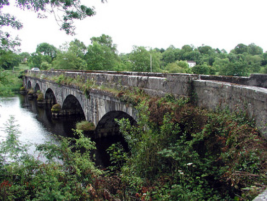 Jamestown Bridgebridge · 842 yd
 Jamestown Housegate lodge · 908 yd
 Wildlife AreaNature reserve · 1023 yd
 Patrick Gill Memorial Plaque (IRA)Monument · 1110 yd
 Robert Strawbridge MemorialMemorial · 1247 yd
 Site of Dangan CastleCastle, unclassified · 1.9 mi
 Moon RiverHeritage attraction · 3.4 mi
 InishmoylinIslet · 3.7 mi
 Coarse IslandForest · 3.9 mi
 Dockery's IslandIslet · 4.0 mi