What is recorded here
Tetunny Burying Ground stands on high Donegal ground overlooking the Erne, its circular stone wall marking an early sacred place where people still laid their dead until recently. The missing church and vanished holy well suggest a busy local centre of prayer and memory, perhaps hidden beneath the grass or lost to time. The shape itself preserves what is gone, turning an empty circle into a chamber for imagination and mourning.
A circular masonry wall encloses Tetunny Burial Ground (DG107-073001-), in use until recently. It is most probable that this is an early ecclesiastical site although, apart from the shape, no remains are visible. It is located on the higher ground overlooking the Erne to the N. About 100m S on lower ground the site of Tetunny Church (DG107-073) is marked on the 2nd and 3rd editions of the OS 6-inch maps. No traces of an antiquity have been observed here and it seems more likely that such a church would have stood within the present circular enclosure. To the SE was located Tetunny holy well (DG108-002-) now gone. (Ó Muirgheasa No. 10)
The above description was derived from the 'Archaeological Survey of County Donegal. A description of the field antiquities of the County from the Mesolithic Period to the 17th century.' Compiled by: Brian Lacey with Eamon Cody, Claire Cotter, Judy Cuppage, Noel Dunne, Vincent Hurley, Celie O'Rahilly, Paul Walsh and Seán Ó Nualláin (Lifford: Donegal County Council, 1983). In certain instances the entries have been revised and updated.
Date of upload: 22 September 2008
Early ecclesiastical site, likely medieval in origin. Its significance lies in its potential association with local monastic or burial traditions, though few physical remains are visible.
The monument record does not grant public access. Check the route and ask the landowner before entering private land.
- What survives
- Recorded monument
Places near here
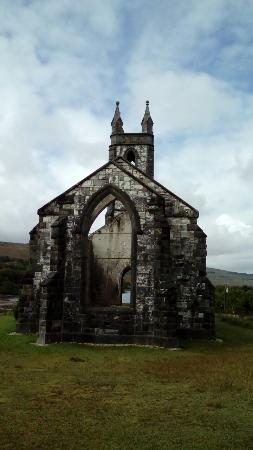 Old ChurchRuins · 55 yd
 Tetunny Church (Site of)Church · 80 yd
 Tetunny WellHoly well · 130 yd
 Cliff Generating Stationhydroelectric power station · 149 yd
 Belleek Pottery MuseumMuseum · 1044 yd
 Belleek PotteryHeritage attraction · 1105 yd
 Castle in ruinsCastle, unclassified · 2.1 mi
 PLANTATION CASTLE: MAGHERAMEENAGH CASTLE in MagherameenaghPLANTATION CASTLE: MAGHERAMEENAGH CASTLE · 2.7 mi
 St Anne's Church GraveyardGraveyard · 3.9 mi
 HawthornHawthorn · 3.9 mi
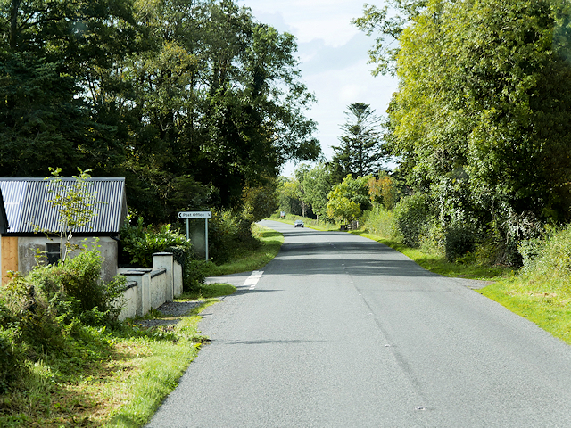 Rosscor IslandIsland · 4.0 mi
 InishkeenIslet · 4.1 mi