What is recorded here
On a S-facing slope in pasture. Indicated and labelled ‘Terry Alt’s House (Site of)’ on the OS 25-inch plan (1897) and on the Cassini edition (1920) of the OS 6-inch map. Listed as ‘Potential site - name’ in the RMP (1996). This, apparently mild-mannered, house owner’s name was adopted (ironically) by a secret society for agrarian reform. The ‘Terry Alts’ were active locally from 1828-1831 (Westropp 1900, 413; Donnelly 1994). When inspected in 1998, no visible surface remains were found.
Compiled by: Gearóid Conroy and Conn Herriott
Date of upload: 9-10-2025
The monument record does not grant public access. Check the route and ask the landowner before entering private land.
- What survives
- Recorded monument
Places near here
 ToberinneenboyHoly well · 59 yd
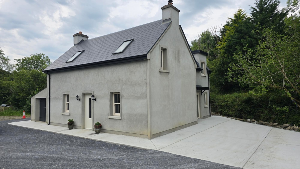 Enclosure in BaunkyleEnclosure · 375 yd
 Rock IslandIsland · 825 yd
 Inchiquin IslandIslet · 987 yd
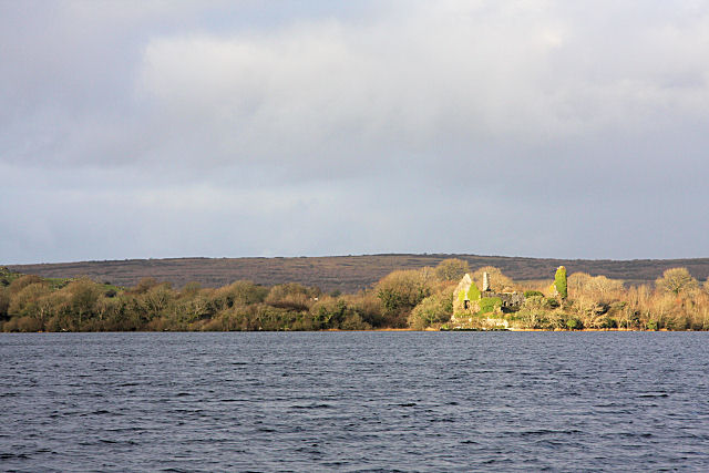 Inchiquin Castle (in ruins)Castle, tower house · 1189 yd
 Coad Churchchurch/chapel · 1206 yd
 Clare Heritage Centremausoleum · 1343 yd
 ‘De Clare’s House (in ruins)’ (1842 )Bawn · 1.1 mi
 Fergus River CaveCave · 2.3 mi
 Battle of TullyodeaBattlefield · 2.9 mi
 Burren National ParkVisitor information · 3.2 mi
 Father Ted's HouseHeritage attraction · 4.2 mi