What is recorded here
Located on top of a low narrow ridge, bordered to NE by the Yellow River and to SW-W by a flat expanse of lowlying, damp pasture.
Named 'Templemoyle (Grave Yard)' on the 1913-17 OS 6-inch map. A mortared stone wall (Wth 0.6m; H c. 1m) encloses a narrow, elongated rectangular area (78m NW-SE; 23m NE-SW), which encompasses the highest section of the ridge. Within the interior no attempt has been made to modify the natural contours of the ridge, which has a narrow rounded top and steeply sloping sides; both on the top and the slopes of the ridge are covered by a high density of graves, the majority of which are marked by low uninscribed fieldstones, many arranged in NE-SW rows. Interspersed amongst these are a few uninscribed, roughly cross-shaped stone gravemarkers. A number of formal, inscribed gravemarkers, including both horizontal slabs and upright 'celtic' crosses, occur in the SE end of the burial ground. Where inscriptions can be read, they are all late 19th century in date. According to local information, a number of Famine victims were buried here. There is a holy well, named Toberacloon, c. 65m to W.
Compiled by: Jane O'Shaughnessy
Date of upload: 16 March 2018
The monument record does not grant public access. Check the route and ask the landowner before entering private land.
- What survives
- Recorded monument
Places near here
 TobercloonHoly well · 117 yd
 Enclosure in CoollagaghEnclosure · 872 yd
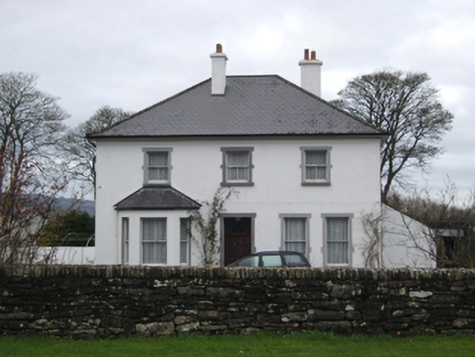 rectory/glebe/vicarage/curate's houserectory/glebe/vicarage/curate's house · 1.6 mi
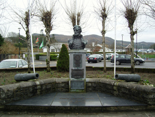 Admiral Brown Monumentmonument · 2.0 mi
 Admiral William BrownMemorial · 2.0 mi
 Foxford Woollen MillsHeritage attraction · 2.0 mi
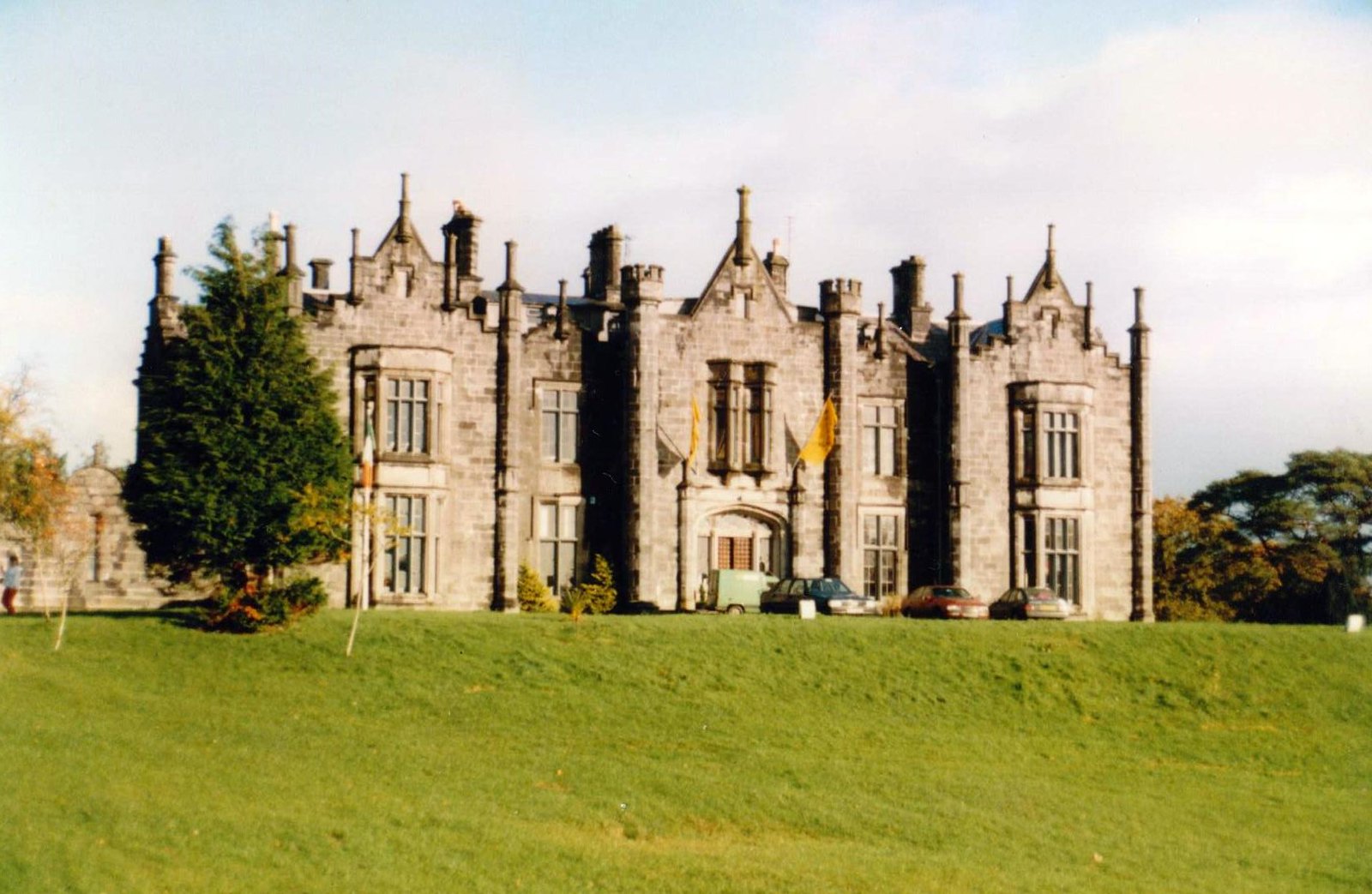 CastleCastle, unclassified · 2.0 mi
 Bawn in ToomoreBawn · 3.3 mi
 Drummin ForestForest · 3.4 mi
 Hennigan's Heritage CentreHeritage attraction · 3.8 mi
 Lough CullinViewpoint · 3.9 mi
 HawthornHawthorn · 4.2 mi