What is recorded here
On a long, gentle W-facing slope. A tall communications mast to the N overlooks the site. A roughly rectangular area (max. dims. L c. 80m E-W; Wth c. 45m) is defined by a well-built, cross-capped, mortared stone wall which is repaired with concrete along the N. A modern drain runs E-W inside the S limits. Burials are concentrated at, and to the S of, centre on the more gently sloping ground, and the earliest legible headstone is dated 1794. A possible church site (KD008-006001-) lies in the NW corner.
Compiled by: Gearóid Conroy
Date of upload: 10 June 2011
Templedooath Grave Yard is a medieval cemetery, likely dating to the early to high medieval period (c. 700–1200 AD). Its significance lies in its potential association with a now-destroyed ecclesiastical site, reflecting early Christian burial practices in rural Ireland.
The monument record does not grant public access. Check the route and ask the landowner before entering private land.
- What survives
- Recorded monument
Places near here
 Church in CarburyChurch · 26 yd
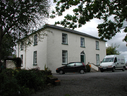 The Old Rectoryhouse · 538 yd
 Bog OakMonument · 581 yd
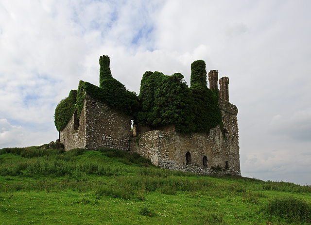 IndicatedHouse, fortified house · 896 yd
 Carbury CastleCastle · 897 yd
 Trinity WellHoly well · 1085 yd
 Buggan's WoodWood · 2.8 mi
 Horse-chestnutHorse-chestnut · 2.8 mi
 The Fairy BowerHeritage attraction · 5.8 mi
 Lullymore Heritage ParkHeritage attraction · 5.8 mi
 Sli na Slainte - mapVisitor information · 8.2 mi
 Grand Canal WayVisitor information · 8.7 mi