What is recorded here
Depicted on the 1837 edition of the OS 6-inch map as 'Temple' which was a landscape feature or folly associated with Baronstown House located 150m to the W. The site of this 'Temple' was recorded in 1981 and described as 'Nothing now remains of this site, nor is there any indication of its former existence. The site was situated in the parkland of Baronstown House' (SMR file 1981).
Compiled by: Caimin O'Brien
Date of upload: 4 October 2010
The monument record does not grant public access. Check the route and ask the landowner before entering private land.
- What survives
- Recorded monument
Places near here
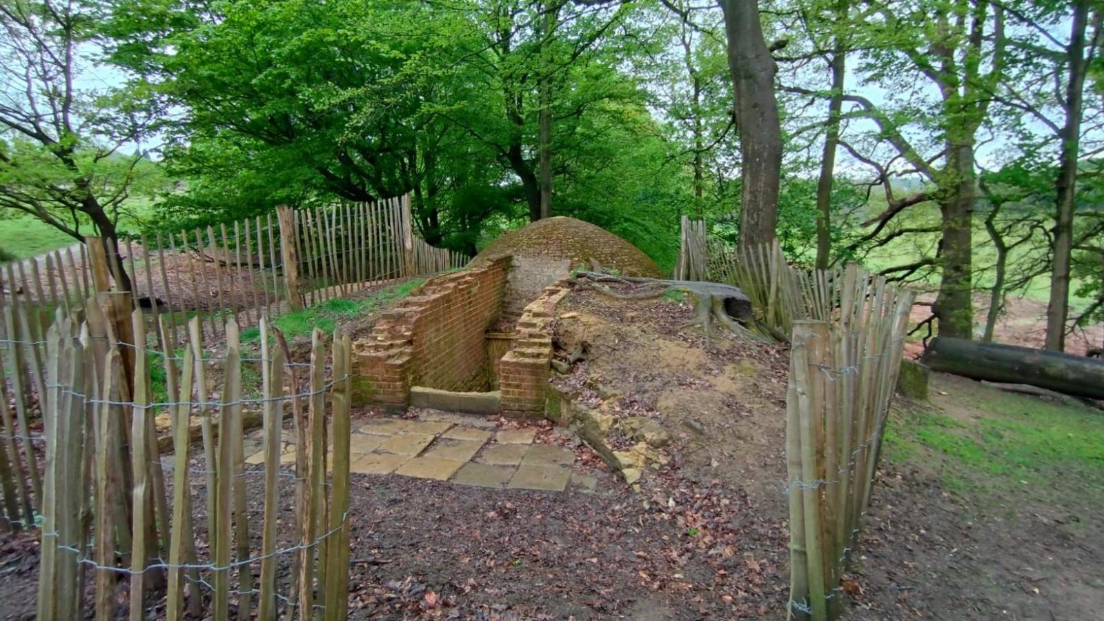 Icehouse in Baronstown DemesneIcehouse · 331 yd
 Baronstown ForestWood · 1195 yd
 Man-made underground passage in Baronstown DemesneMan-made underground passage · 1209 yd
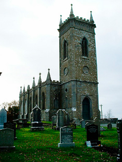 Saint Bigseach's Church (Kilbixy)church/chapel · 1226 yd
 CastleCastle, motte and bailey · 1234 yd
 Horse-chestnutHorse-chestnut · 1244 yd
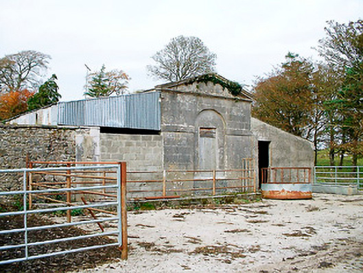 Baronstown HouseOfficially recorded historic building · 1297 yd
 Site of Castle, Castle FieldCastle, unclassified · 1.2 mi
 Newcastle WoodsForest · 9.5 mi
 Rock of CurryCliff · 11 mi
 Mullaghmeen ForestPicnic place · 13 mi
 Font in Baronstown DemesneFont · 1211 yd