What is recorded here
Situated on the S side of John's Lane. The earliest mention of a tannery here is in a lease of 1764 relating to a Quaker Burial Ground just to the SW which remained in use until 1824. The tannery was well established in 1764 and was still in use on Leahy's map of 1835, but it was defunct by 1871. Archaeological testing (00E0119) uncovered the bases of some tanning pits together with medieval garden deposits. (Wren 2002)
Wren, J. (2002) St John's Lane, Waterford. Urban medieval/post-medieval. in I. Bennett (Ed.) Excavations 2000: summary accounts of excavations in Ireland, 341, No. 1004. Wordwell. Bray.
Compiled by: Michael Moore.
Date of upload: 07 December 2010.
The monument record does not grant public access. Check the route and ask the landowner before entering private land.
- What survives
- Recorded monument
Places near here
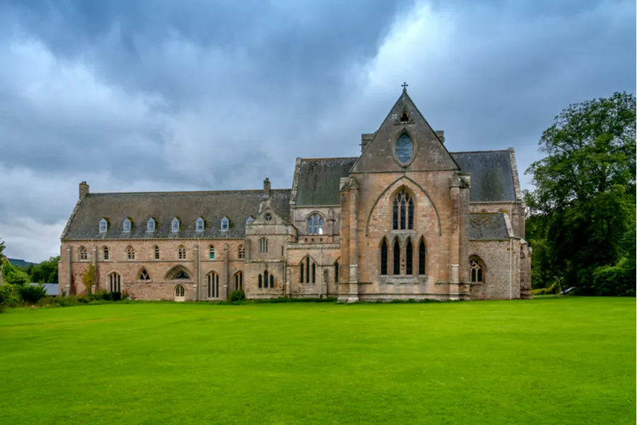 Religious houseReligious house, Benedictine monks · 72 yd
 Double TowerHeritage attraction · 89 yd
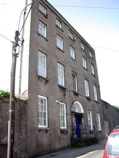 Saint John's Presbyteryhouse · 92 yd
 French TowerHeritage attraction · 97 yd
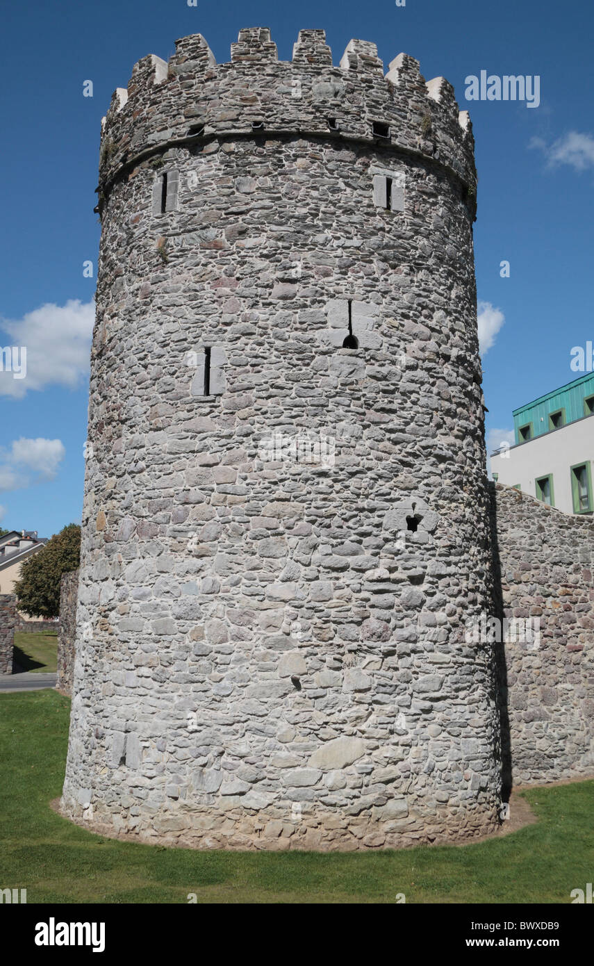 Waterford City WallsVisitor information · 232 yd
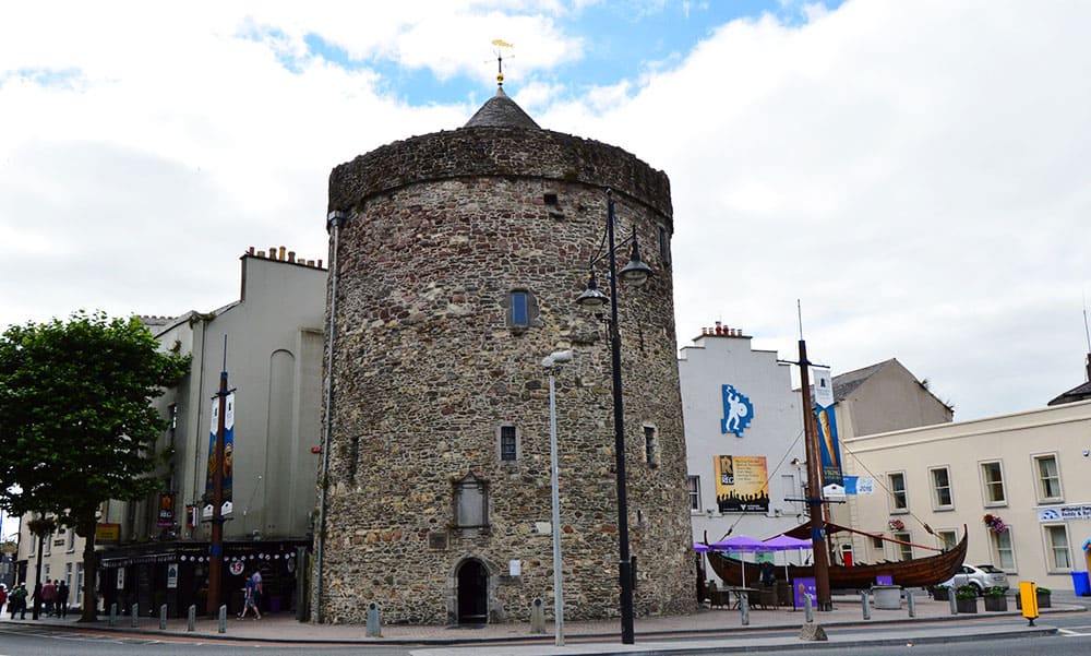 Semi-Lunar TowerCastle · 288 yd
 Holy well in Waterford CityHoly well · 313 yd
 Habitation site in Waterford CityHabitation site · 410 yd
 9/11 MemorialMemorial · 446 yd
 Granny CastleCastle, tower house · 2.6 mi
 Native Woodland Trust:Grace Dieu ReserveWood · 2.6 mi
 Native Irish Tree TrailWood · 2.9 mi