
What is recorded here
Moss has strangled the southern gap where people once entered, but the northern bank still stands tall against the Cavan sky. The fort is large enough for a village or a king's banquet, yet it keeps its distance behind three nested rings of earth and water. You can walk the outer tree-planted edge and feel the shape of a hidden world pressing back through the soil.
Large oval area (int. dims. 49m N-S; 42.5m E-W) enclosed by a substantial earthen bank with an external fosse and low counterscarp bank best preserved from NW-N-NE. A level area (Wth 2.4m) lies outside of this again and is encircled by a third bank which is planted with trees and may be a later landscape feature. It is accompanied by an external fosse. The counterscarp bank is best preserved from NW-N-NE. Corresponding breaks in all three banks at S may represent original entrance, although there are no accompanying causeways.
The above description is derived from the published 'Archaeological Inventory of County Cavan' (Dublin: Stationery Office, 1995). In certain instances the entries have been revised and updated in the light of recent research.
Date of upload/revision: 22 December 2008
The monument record does not grant public access. Check the route and ask the landowner before entering private land.
- What survives
- Recorded monument
Places near here
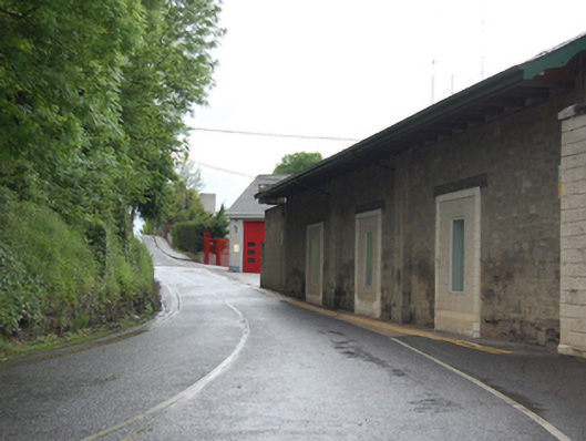 The Anglo Celtstore/warehouse · 462 yd
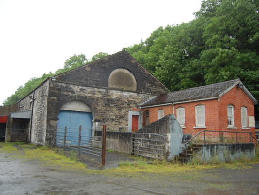 Cavan Cattle Martoutbuilding · 510 yd
 Drumgoon FortArchaeological place · 732 yd
 Faugh a Ballagh 1914-1918Monument · 1084 yd
 Owen Roe O'Neill graveMemorial · 1112 yd
 GrottoWood · 1259 yd
 CastleCastle, unclassified · 1460 yd
 Bawn in FarnhamBawn · 1.1 mi
 Rambling at Farnham EstateVisitor information · 1.2 mi
 Home WoodsForest · 1.2 mi
 BillisMountain / peak · 1.6 mi
 DrumardMountain / peak · 2.8 mi
Other information
Photo: Credit not shown in the picture search · Rights wording not checked; contact us if this picture should be removed