
What is recorded here
Large oval area (int. dims. 49m N-S; 42.5m E-W) enclosed by a substantial earthen bank with an external fosse and low counterscarp bank best preserved from NW-N-NE. A level area (Wth 2.4m) lies outside of this again and is encircled by a third bank which is planted with trees and may be a later landscape feature. It is accompanied by an external fosse. The counterscarp bank is best preserved from NW-N-NE. Corresponding breaks in all three banks at S may represent original entrance, although there are no accompanying causeways.
The above description is derived from the published 'Archaeological Inventory of County Cavan' (Dublin: Stationery Office, 1995). In certain instances the entries have been revised and updated in the light of recent research.
Date of upload/revision: 22 December 2008
The monument record does not grant public access. Check the route and ask the landowner before entering private land.
- What survives
- Recorded monument
Places near here
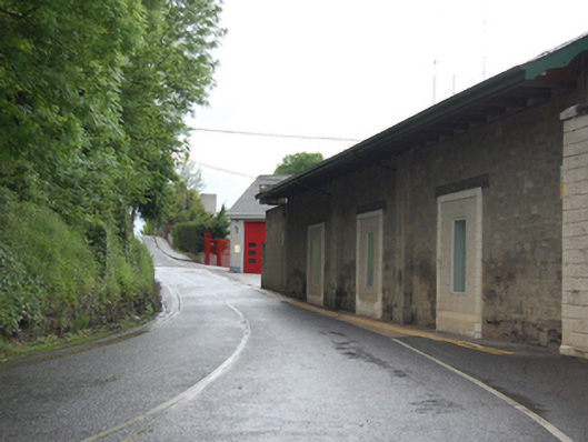 The Anglo Celtstore/warehouse · 462 yd
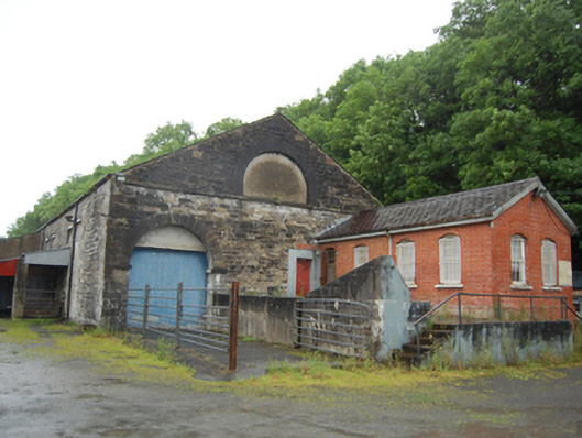 Cavan Cattle Martoutbuilding · 510 yd
 Drumgoon FortArchaeological place · 732 yd
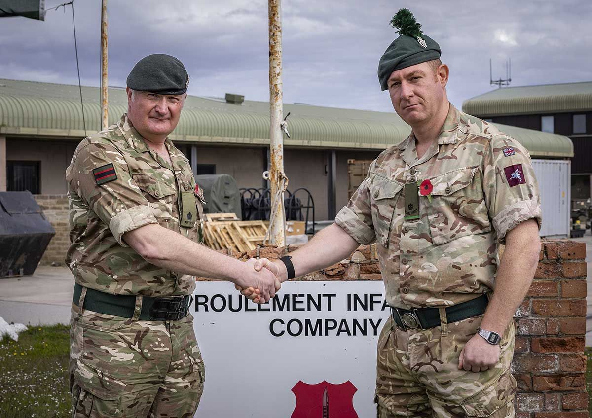 Faugh a Ballagh 1914-1918Monument · 1084 yd
 Owen Roe O'Neill graveMemorial · 1112 yd
 GrottoWood · 1259 yd
 CastleCastle, unclassified · 1460 yd
 Bawn in FarnhamBawn · 1.1 mi
 Rambling at Farnham EstateVisitor information · 1.2 mi
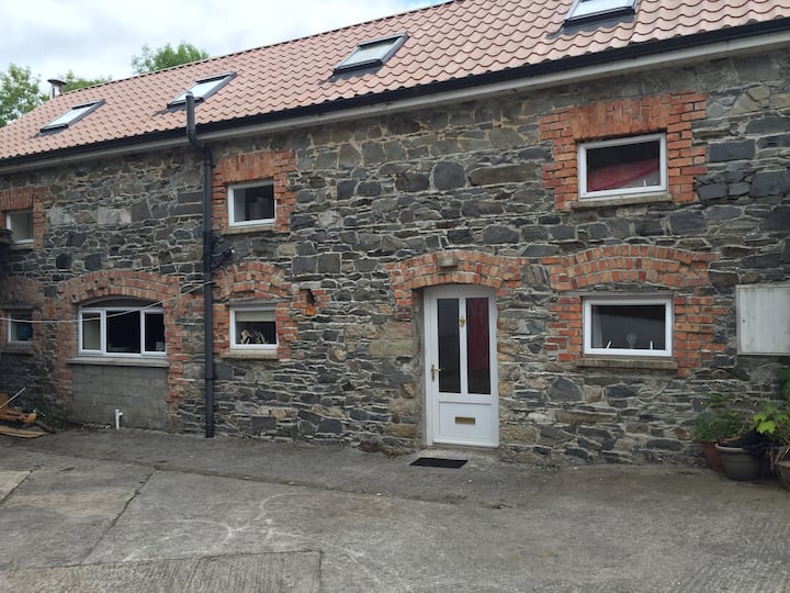 Home WoodsForest · 1.2 mi
 BillisMountain / peak · 1.6 mi
 DrumardMountain / peak · 2.8 mi
Other information
Photo: Credit not shown in the picture search · Rights wording not checked; contact us if this picture should be removed