What is recorded here
Situated at the bottom of a W-facing slope and adjacent to an abandoned farmhouse in an overgrown area. It is marked only on the 1907 edition of the OS 6-inch map. No feature is visible at ground level.
The above description is derived from 'The Archaeological Inventory of County Leitrim' compiled by Michael J. Moore (Dublin: Stationery Office, 2003). In certain instances the entries have been revised and updated in the light of recent research.
Date of upload: 23 September 2008
Linked to Saint Kevin, the well is traditionally associated with cures for skin ailments and sweating sickness. Local folklore suggests that visitors would anoint themselves with the water and walk three times around the site as part of the healing ritual.
The monument record does not grant public access. Check the route and ask the landowner before entering private land.
- What survives
- Recorded monument
Places near here
 IndicatedFairy fort / stone ringfort · 976 yd
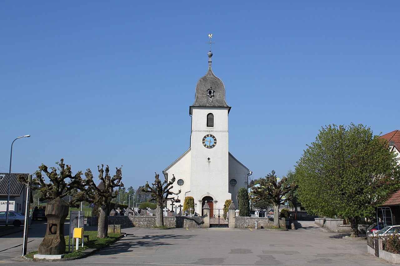 Church in FahyChurch · 1227 yd
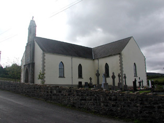 Saint Hugh's Catholic Churchchurch/chapel · 1541 yd
 Tober BuryHoly well · 1633 yd
 Fahy RockIslet · 1.2 mi
 Gull IslandIslet · 2.3 mi
 Forde's CastleCastle · 2.4 mi
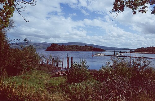 Lough AllenLarge freshwater lake · 2.8 mi
 Republican Garden of RemembranceMemorial · 3.1 mi
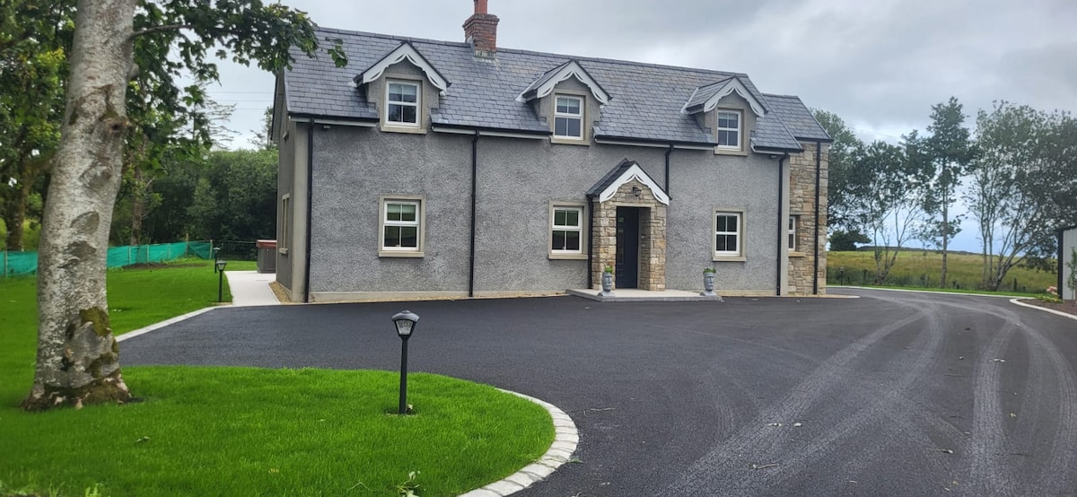 GubcormonganHeadland · 3.3 mi
 CarrignahastaCliff · 3.4 mi
 BencroyMountain / peak · 3.5 mi