
What is recorded here
It is marked only on the Cassini edition of the OS 6-inch map, with a house shown c. 100m to the NW. Recorded by the Leitrim Sweathouse Project (G. Gibbons, 10-7-2022). On a gentle slope on the N-bank of a W-flowing stream. A collapsed sub-circular chamber (diams. c. 2.66m by c. 1.68m), with three courses of rubble stonework visible internally. Previously recorded as intact by G. Burns in 1992 (H 1.91m; L 1.78m; Wth 1.52m) with a well-defined entrance (H 0.75m: Wth 0.58m; D 0.70m).
See attachments:
• Photo of entrance in 1992. (G. Burns)
• Photo of monument in 2022. Note curving coursed stone work. (G. Gibbons)
Revised summary: Gearóid Conroy
Date of revision: 21 November 2022
The monument record does not grant public access. Check the route and ask the landowner before entering private land.
- What survives
- Recorded monument
Places near here
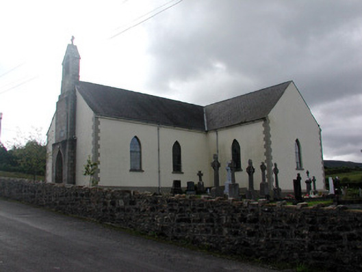 Saint Hugh's Catholic Churchchurch/chapel · 1600 yd
 Sweat HouseSweathouse · 1.5 mi
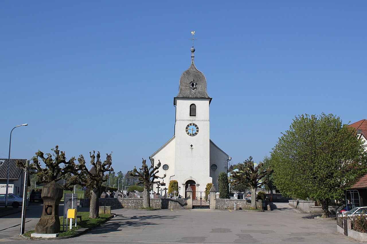 Church in FahyChurch · 1.5 mi
 Tober BuryHoly well · 1.5 mi
 Fahy RockIslet · 1.8 mi
 CarrignahastaCliff · 2.6 mi
 PlaygroudCliff · 2.7 mi
 BencroyMountain / peak · 3.0 mi
 Gull IslandIslet · 3.0 mi
 Forde's CastleCastle · 3.0 mi
 Republican Garden of RemembranceMemorial · 3.1 mi
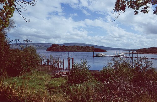 Lough AllenLarge freshwater lake · 3.4 mi
Other information
Photo: Credit not shown in the picture search · Rights wording not checked; contact us if this picture should be removed