What is recorded here
Situated on the low ground on the E bank of a N-S stream at a point just above where E-W joins it and c. 100m E of the site of a farmhouse. It is marked only on the 1907 edition of the OS 6-inch map. No feature is visible at ground level.
The above description is derived from 'The Archaeological Inventory of County Leitrim' compiled by Michael J. Moore (Dublin: Stationery Office, 2003). In certain instances the entries have been revised and updated in the light of recent research.
Date of upload: 23 September 2008
The monument record does not grant public access. Check the route and ask the landowner before entering private land.
- What survives
- Recorded monument
Places near here
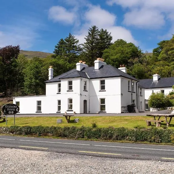 Sweat Ho. (in Ruins)Sweathouse · 1358 yd
 Penal Mass station in AltavraPenal Mass station · 1.2 mi
 Enclosure in Mullaghmore (drumahaire By.)Enclosure · 1.2 mi
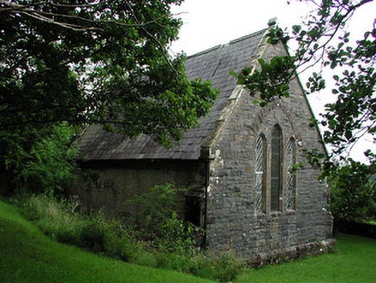 Creevelea Presbyterian Churchchurch/chapel · 1.8 mi
 The Giants GraveArchaeological place · 4.1 mi
 Ballaghnabehy TopMountain / peak · 4.1 mi
 ArdlougherMountain / peak · 4.6 mi
 Drummans IslandIslet · 4.9 mi
 Green IslandIslet · 5.0 mi
 Giants RockNamed rock · 5.3 mi
 Forde's CastleCastle · 5.6 mi
 Corrard ForestForest · 5.9 mi