
What is recorded here
Situated on a SW-facing slope and c. 20m N of an abandoned farmhouse. It is marked as a sweathouse only on the 1907 edition of the OS 6-inch map with houses also c. 100m to the NW. No feature is visible at ground level.
The above description is derived from 'The Archaeological Inventory of County Leitrim' compiled by Michael J. Moore (Dublin: Stationery Office, 2003). In certain instances the entries have been revised and updated in the light of recent research.
Date of upload: 23 September 2008
The monument record does not grant public access. Check the route and ask the landowner before entering private land.
- What survives
- Recorded monument
Places near here
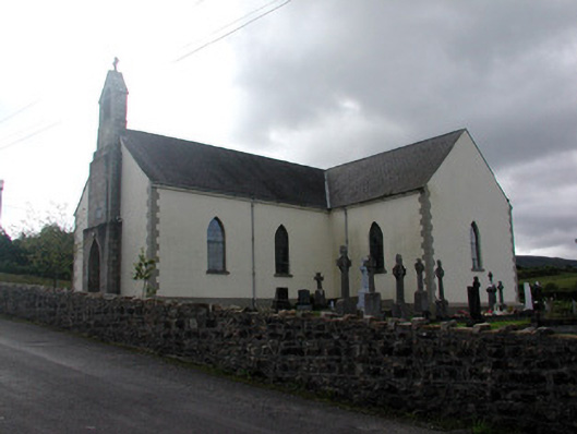 Saint Hugh's Catholic Churchchurch/chapel · 1050 yd
 Holy WellHoly well · 1136 yd
 Enclosure in Greaghnafarna (drumahaire By., Yugan Ed)Enclosure · 1308 yd
 Fahy RockIslet · 1.7 mi
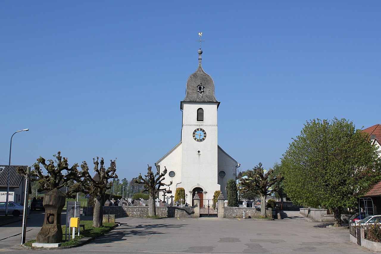 Church in FahyChurch · 1.8 mi
 Republican Garden of RemembranceMemorial · 2.0 mi
 PlaygroudCliff · 2.1 mi
 CarrignahastaCliff · 2.3 mi
 Forde's CastleCastle · 2.7 mi
 Gull IslandIslet · 2.8 mi
 CarrickbrannanMountain / peak · 2.8 mi
 Corrard ForestForest · 3.0 mi
Other information
Photo: Credit not shown in the picture search · Rights wording not checked; contact us if this picture should be removed