
What is recorded here
Indicated as a sweat house only on the 1907 edition of the OS 6-inch map on the S side of Glenfarne valley. It is situated on the W bank of a S-N stream and c. 50m SW from an abandoned farmhouse, which is on the other side of the stream in Bronagh townland. It was identified and recorded by Donald Murphy where the roof has collapsed but the mound is intact.
The above description is derived from 'The Archaeological Inventory of County Leitrim' compiled by Michael J. Moore (Dublin: Stationery Office, 2003). In certain instances the entries have been revised and updated in the light of recent research.
Date of revised upload: 18 March, 2015
The monument record does not grant public access. Check the route and ask the landowner before entering private land.
- What survives
- Recorded monument
Places near here
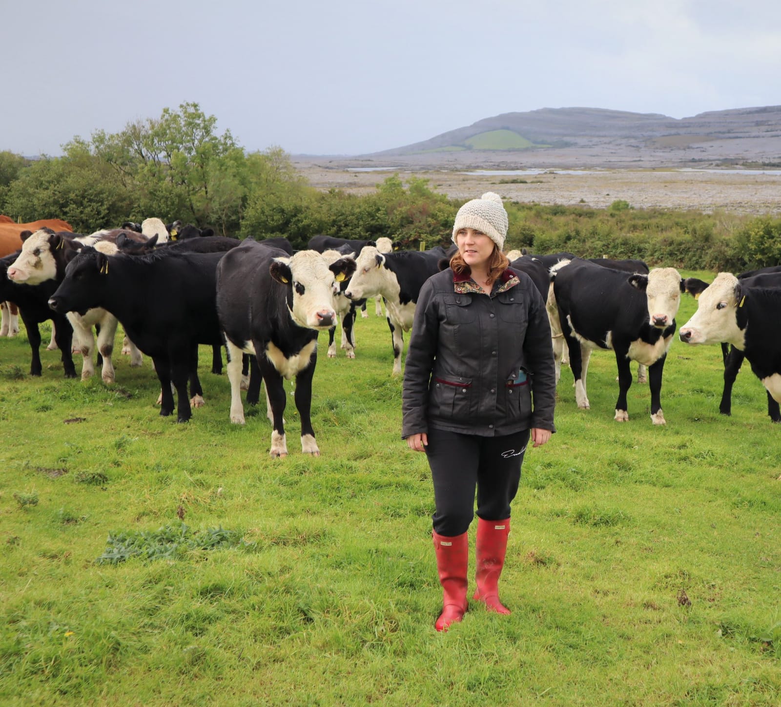 BronaghMountain / peak · 1408 yd
 IndicatedSweathouse · 1.1 mi
 Ballaghnabehy TopMountain / peak · 1.9 mi
 Englishman's HouseRuins · 2.2 mi
 The Rainbow Ballroomturkish baths, building misc · 2.2 mi
 Ecclesiastical enclosure in KilmakerrillEcclesiastical enclosure · 2.9 mi
 Lough MacNean WalkWalking route · 3.6 mi
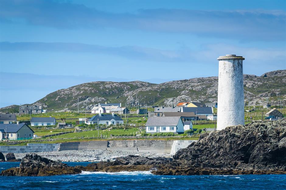 Bilberry IslandIslet · 3.8 mi
 Saint Patrick's IslandIslet · 3.9 mi
 TobermurrySpring · 4.1 mi
 Port IslandCastle, Anglo-Norman masonry castle · 4.1 mi
 Giant's GraveArchaeological place · 4.1 mi
Other information
Photo: Credit not shown in the picture search · Rights wording not checked; contact us if this picture should be removed