What is recorded here
The official Northern Ireland record identifies this as Submerged Landscape. Recorded period: PREHISTORIC. The official map point was placed at the centre of the recorded archaeological site from the source map reference.
The monument record does not grant public access. Check the route and ask the landowner before entering private land.
- What survives
- Recorded monument
Places near here
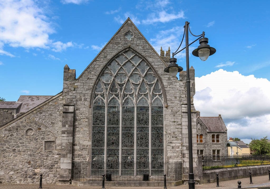
_-_geograph.org.uk_-_1509878.jpg?width=1280) Non-subscribing Presbyterian ChurchChurch · 1753 yd
Non-subscribing Presbyterian ChurchChurch · 1753 yd CHURCH SITE (unlocated) in Balliggan (possible); Ballyobegan (possible)CHURCH SITE (unlocated) · 1.9 mi
 Windmill HillMountain / peak · 1.9 mi
 ENCLOSURE in Black AbbeyENCLOSURE · 2.0 mi
 Glastry Presbyterian ChurchChurch · 2.1 mi
 Burr PointHeadland · 2.2 mi
 PLANTATION HOUSE & BAWN in InishargyPLANTATION HOUSE & BAWN · 2.3 mi
 Burial IslandIslet · 2.4 mi
 MEDIEVAL CHURCH and GRAVEYARD; with 3 C13TH COFFIN LIDS: BALLYWALTER OLD CHURCH; WHITE CHURCH in BallywalterMEDIEVAL CHURCH and GRAVEYARD; with 3 C13TH COFFIN LIDS: BALLYWALTER OLD CHURCH; WHITE CHURCH · 2.8 mi
 Monaghan BankMountain / peak · 3.5 mi
 The Echlinville DistilleryHeritage attraction · 3.6 mi
 Grey Abbey HouseCastle · 3.8 mi