_-_geograph.org.uk_-_1509878.jpg)
What is recorded here
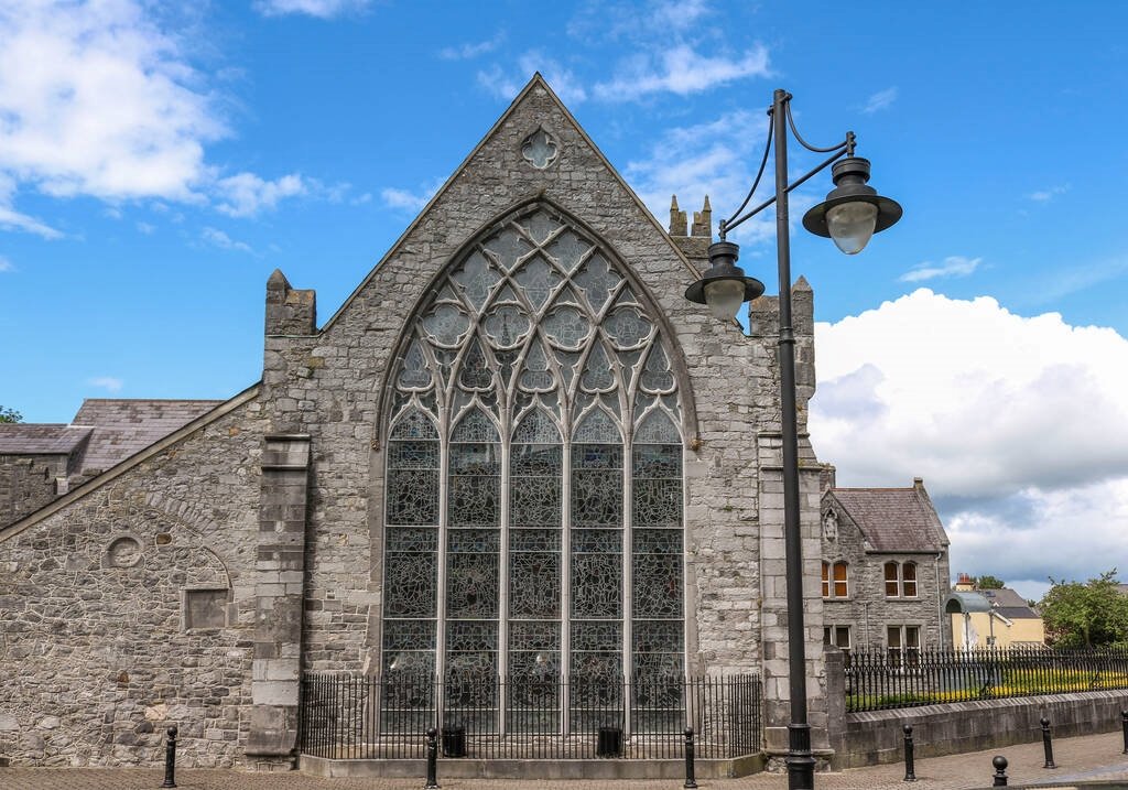
The official Northern Ireland record identifies this as a Grade B+ listed building. Recorded construction date: 1820 - 1839. Current recorded use: Church.
The official record and map point do not grant access. Many historic buildings are privately owned; view them only from public ground unless the owner allows entry.
Places near here
 CHURCH SITE (unlocated) in Balliggan (possible); Ballyobegan (possible)CHURCH SITE (unlocated) · 1.2 mi
 Glastry Presbyterian ChurchChurch · 1.3 mi
 PLANTATION HOUSE & BAWN in InishargyPLANTATION HOUSE & BAWN · 1.5 mi
 Windmill HillMountain / peak · 1.5 mi
 ENCLOSURE in Black AbbeyENCLOSURE · 1.8 mi
 CHURCH (unlocated) in KircubbinCHURCH (unlocated) · 2.0 mi
 Burr PointHeadland · 2.4 mi
 Monaghan BankMountain / peak · 2.5 mi
 Burial IslandIslet · 2.6 mi
 The Echlinville DistilleryHeritage attraction · 2.6 mi
 Horse IslandIsland · 3.1 mi
 MEDIEVAL CHURCH and GRAVEYARD; with 3 C13TH COFFIN LIDS: BALLYWALTER OLD CHURCH; WHITE CHURCH in BallywalterMEDIEVAL CHURCH and GRAVEYARD; with 3 C13TH COFFIN LIDS: BALLYWALTER OLD CHURCH; WHITE CHURCH · 3.3 mi
Other information
Photo: Dean Molyneaux · CC BY-SA 2.0