
What is recorded here
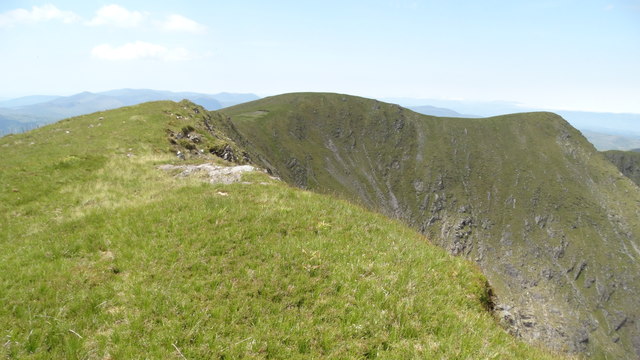
Stumpa Dúloigh is recorded as a mountain / peak in County Kerry. Its open map record supplies this location and any linked names or public references.
Stumpa Dúloigh rises to approximately 550 metres and is part of the broader MacGillycuddy's Reeks range, one of Ireland's most prominent and geologically significant mountain systems. The name, derived from Irish, may reflect local folklore or historical land use, though specific traditions are not widely documented. Its location in County Kerry places it within an area of national importance for both natural beauty and cultural heritage.
- Location
- OpenStreetMap point or centre of the mapped shape
Other information
Photo: Credit not shown in the picture search · Rights wording not checked; contact us if this picture should be removed
Places near here
 Stumpa Duloigh SE TopMountain / peak · 469 yd
 Stumpa Dúloigh SW TopMountain / peak · 1051 yd
 Mass-rock in DerreenyMass-rock · 1.3 mi
 Megalithic structure in DerreenyMegalithic structure · 1.5 mi
 Ballaghbeama GapViewpoint · 2.1 mi
 CarrauntoohilMountain / peak · 3.3 mi
 Eirk Bog Nature ReserveNature reserve · 4.2 mi
 Devil's Ladder RouteWalking route · 4.3 mi
 Crash site of USAAF DakotaHeritage attraction · 4.4 mi
 Moll's GapViewpoint · 4.7 mi
 Blackstones Bridge — DROMDOORY, LICKEENbridge · 6.5 mi
 Blackwater Bridge — DERREENAFOYLE, DROMORE (MA. BY.), DROMORE OLDbridge · 6.8 mi