What is recorded here
This site was located in the industrial peatlands of Toar Bog. It was recorded in the 2013 Re-assessment Peatland Survey as a drain face sighting containing E-W orientated brushwood elements, two to three layers deep, overlain by N-S orientated brushwood 0.23m below the field surface (Whitaker 2014).
A single cutting was opened and excavated under licence 14E0296. A fragment of ash was chosen for AMS dating and returned a result of cal. 411–283 BC (UBA 26628). The site was situated in almost completely undecomposed Sphagnum pool peat. It comprised of a hazel brushwood hurdle panel (L2.68m, W0.13-0.8m) that was truncated by the drain edge. It was composed of three NE–SW orientated elm and ash sails, with densely woven rods. A disperse scatter of four hazel and birch brushwood was uncovered in the SW extent of the cutting. This material may not be associated with the hurdle below and may represent later activity.
Compiled by: Jane Whitaker/Femke Vleeshouwer
Date of upload: 28/02/2020
The monument record does not grant public access. Check the route and ask the landowner before entering private land.
- What survives
- Recorded monument
Places near here
 Partially hachuredFairy fort / earthen ringfort · 1592 yd
 OutlinedHoly well · 1.2 mi
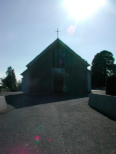 Saint Stephen's Catholic Churchchurch/chapel · 1.3 mi
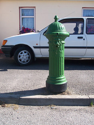 water pumpwater pump · 1.3 mi
 Tyrrellspass CastleCastle, tower house · 1.4 mi
 Montrath Castle (in ruins)Castle, tower house · 1.9 mi
 Cruil HillMountain / peak · 2.6 mi
 Lackan HillMountain / peak · 2.8 mi
 Saint Clavin's WellSpring · 3.2 mi
 Ardan WoodWood · 3.3 mi
 Croghan HillMountain / peak · 3.8 mi
 Finnrenashark Holy WellSpring · 3.8 mi