What is recorded here
Four pieces of mixed brushwood (Wth 0.51m; D 0.09m), in the drain face, compactly laid up to two pieces deep. They are similarly orientated NW-SE and are present within poorly humified Sphagnum peat. Recorded by the Irish Archaeological Wetland Unit (University College, Dublin) in 1998. The evidence is not sufficient to warrant its acceptance as the remains of an archaeological monument.
The original survey description was compiled by the Irish Archaeological Wetland Unit (University College, Dublin). Assessed and revised by: Caimin O'Brien, Paul Walsh
Date of upload: 23 May 2011
The monument record does not grant public access. Check the route and ask the landowner before entering private land.
- What survives
- Recorded monument
Places near here
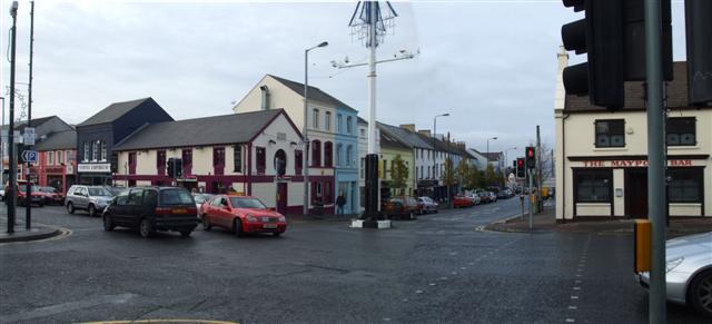 RoadRoad, class 3 togher · 63 yd
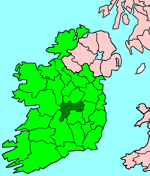 StructureStructure, peatland · 195 yd
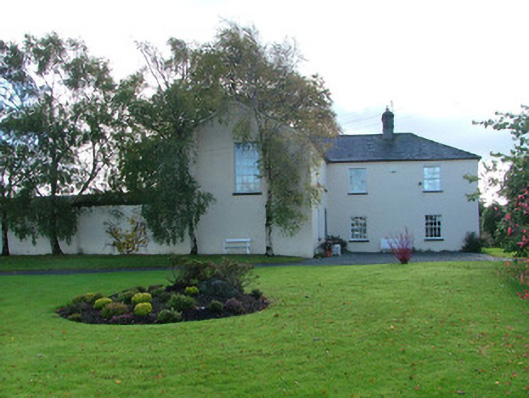 Clonbeale Housecountry house · 684 yd
 IndicatedFairy fort / earthen ringfort · 914 yd
 Killyon Abbey (in ruins)Bawn · 1.5 mi
 Site of OCarrolls CastleCastle, unclassified · 1.8 mi
 Woodville WoodWood · 3.1 mi
 Birr Heritage CentreMuseum · 3.6 mi
 Oriental planeOriental plane · 3.7 mi
 James Franklin FullerMemorial · 3.7 mi
 Waterfall PointViewpoint · 3.9 mi
 The Great Telescope 'Leviathan'Heritage attraction · 3.9 mi