What is recorded here
Situated on an elevated plateau, gently sloping to the SE, with extensive views towards Tory Hill to the east, as well as views to the west and south. Excavated in 2006 in advance of the N9/N10 Kilcullen to Waterford Road Scheme (Excavation licence no. E3001). A substantial area of previously unknown prehistoric activity comprising a series of structures varying in date from the Early Neolithic to the Late Bronze age. The Early Neolithic was represented by a probable domestic structure comprising a series of post/stake-holes and curving slot trenches. One of a number of pits in this area returned a radiocarbon date of 3955-3792 cal BC (UBA-13993). A large pottery assemblage from the excavation included sherds from at least five early Neolithic carinated bowls and 22 late Neolithic Grooved Ware vessels. Organic material from a number of features dated to the Late Bronze Age. These features included a timber circle (KK040-088----), two four-post-hole and slot-trench structures, a circular slot-trench structure, a four-post structure and two four-post and stake-hole structures. In addition there were two large and numerous small pits, a palisade of stake-holes, and a saddle quern bed-stone. (Monteith 2009, 285-6, no. 1092; Monteith 2010)
Compiled by: Mary Tunney
Date of upload: 30 October 2013
The monument record does not grant public access. Check the route and ask the landowner before entering private land.
- What survives
- Recorded monument
Places near here
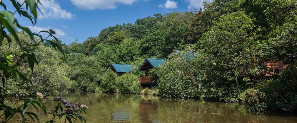 Deerpark Ringfort (rath)Archaeological place · 432 yd
 Rochestown Ringfort (rath)Archaeological place · 847 yd
 IndicatedPenal Mass station · 916 yd
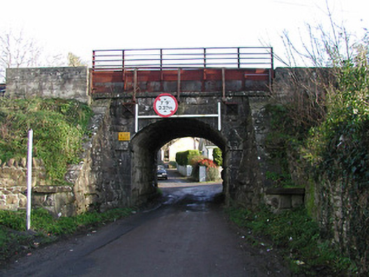 bridgebridge · 983 yd
 Clonassy WoodForest · 1056 yd
 CastleCastle, unclassified · 1497 yd
 Poulanassy WaterfallWaterfall · 1.5 mi
 Tory HillMountain / peak · 1.7 mi
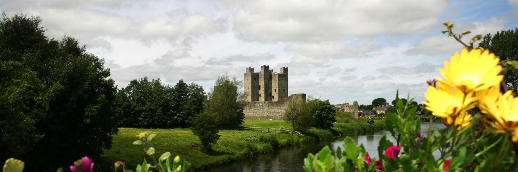 Dangan Castle (Site of)Castle, unclassified · 1.8 mi
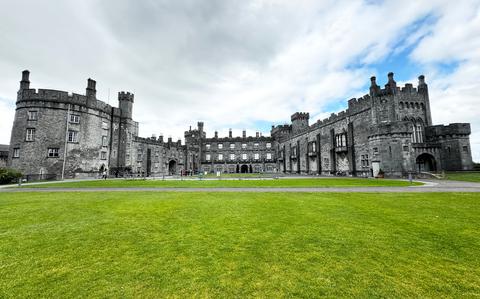 Ballynaboley WoodForest · 3.0 mi
 Portlaw Heritage CentreMuseum · 7.8 mi
 Mount Congreve GardensHeritage attraction · 7.9 mi