
What is recorded here
This monument was subject to geophysical survey (Licence no. 08R117) and test excavation (licence no. 09E 0465) as part of the proposed Metro North development. It consists of a metalled surface (7.25m x 5.9m) associated with three U-shaped channels, postholes and pits. Although no diagnostic material was recovered the remains were interpreted on the basis of the morphology as a medieval structure (Fagan 2009, 23).
Compiled by: Christine Baker
Date of upload: 4 February 2015
The monument record does not grant public access. Check the route and ask the landowner before entering private land.
- What survives
- Recorded monument
Places near here
 Pit in MiltonsfieldsPit · 128 yd
 Airside Retail ParkVisitor information · 257 yd
 Burnt mound in Fosterstown SouthBurnt mound · 584 yd
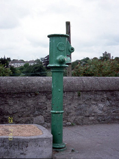 water pumpwater pump · 998 yd
 St Colmcilles WellVisitor information · 1112 yd
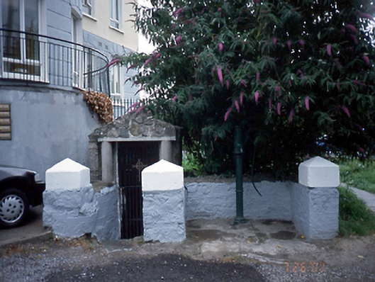 Saint Columb's Wellholy well · 1112 yd
 Swords Round TowerHeritage attraction · 1279 yd
 Kim Archibold MemorialMemorial · 1332 yd
 The JackoWood · 1462 yd
 Tower (in ruins), Castle and ChapelCastle, Anglo-Norman masonry castle · 1624 yd
 Swords CastleCastle · 1624 yd
 Kinsealy CourtMemorial · 1.2 mi
Other information
Photo: Credit not shown in the picture search · Rights wording not checked; contact us if this picture should be removed