What is recorded here
The ward of the castle provided space for various buildings or structures, dating largely to the fourteenth and fifteenth centuries, but a precise date cannot be provided in most instances. This large structure (B) (ext. dims c. 17m E-W; c. 12m N-S) is defined by masonry walls (max. H 2m) on every side except that its NE wall is open to interpretation. It has no apparent features such as doorways or window openings but is situated between the two terminals of the ring-work fosse. Its unfaced foundations (H 0.5m) rest on the subsoil, and it was interpreted as a thirteenth century structure by the excavator (Sweetman 1978, 133-5). However, Hayden (2011, 66-69) interprets the unfaced lower parts of the walls as foundations which would have been in a trench, and posits that an extensive mortar layer below the level of the wall footings relates to the construction of the keep through which the foundations of structure B were inserted. No artefacts provide any direct dating evidence, but even Sweetman identified seventeenth century work in the upper parts of the walls. Sweetman’s Wall F, which is probably seventeenth century in date, is parallel with the S wall of structure B, and could provide its N wall. Therefore a seventeenth century date might be applied to the whole structure, including its oven (Structure C), and Hayden even suggests that it could have been ‘the competent and convenient house’ which James Carroll, lord mayor of Dublin, was required to build in a lease of the manor in 1611 (ibid. 275).
Compiled by: Michael Moore
See the attached view of structure B from NE
Date of upload: 11 July 2019
The monument record does not grant public access. Check the route and ask the landowner before entering private land.
- What survives
- Recorded monument
Places near here
 Trim CastleCastle, Anglo-Norman masonry castle · 33 yd
 Fortification in Manorland (1st Division)Fortification · 60 yd
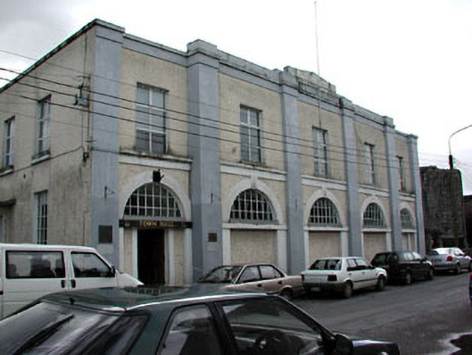 Trim Town Halltown/county hall · 94 yd
 CastleCastle, hall-house · 103 yd
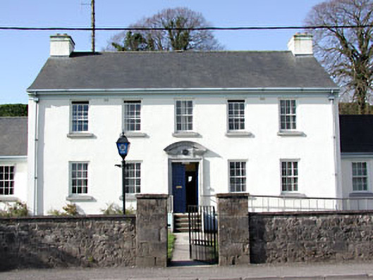 Trim Garda Síochána Stationgarda station/constabulary barracks · 131 yd
 Wellington MonumentMonument · 358 yd
 Saints IslandForest · 3.6 mi
 Small-leaved ElmSmall-leaved Elm · 3.8 mi
 Tara Open StudioGallery · 7.6 mi
 Kilgar GardensHeritage attraction · 9.1 mi
 Old Bog Road made famous by Teresa Bryton 1868-1943Memorial · 9.2 mi
 MullaghMountain / peak · 9.3 mi