What is recorded here
Fort DG065-012001 occupies the entire island south of Roshin Point in County Donegal, a natural rock platform circled by a low wall of boulders and smaller stones. Two rectangular stone buildings remain inside, one clear in the northeast and one faint beside it, suggesting the wall and rooms belonged together. The island joins the mainland at low tide, inviting footsteps, breath and memory into its quiet stone chamber.
The 'Fort' (DG065-012001-) takes up the complete area of the island and consists of a natural rock platform surrounded by a collapsed stone wall incorporating parts of the rock outcrop. Gaps between the wall and platform are packed with small stones and clay. The wall is very low from the interior and is made up of large boulders with a core of smaller stones. There are remains of a stone-built structure in NE section of the site 7.5m externally and 5.55m internally N-S and 5.7m and 4.55m internally E-W. A second rectangular stone structure adjoins the NW corner of the first building. The remains of this are slighter and it is overgrown. Its dimensions would appear to be 5.6m externally and 3.25m internally N-S and 5.4m externally and 3.2m internally E-W. These structures may have originally adjoined the cashel wall. The island is situated S of Roshin Point and is attached to' the mainland at low tide.
The above description was derived from the 'Archaeological Survey of County Donegal. A description of the field antiquities of the County from the Mesolithic Period to the 17th century.' Compiled by: Brian Lacey with Eamon Cody, Claire Cotter, Judy Cuppage, Noel Dunne, Vincent Hurley, Celie O'Rahilly, Paul Walsh and Seán Ó Nualláin (Lifford: Donegal County Council, 1983). In certain instances the entries have been revised and updated.
Date of upload: 22 September 2008
The monument record does not grant public access. Check the route and ask the landowner before entering private land.
- What survives
- Recorded monument
Places near here
 Old Church in RuinsChurch · 1308 yd
 Bonny Glen Wood - Bonny Glen walkOfficial walking route · 1.2 mi
 Bonny Glen WoodForest recreation place · 1.3 mi
 Former Cullion Fairy FortFairy fort / ringfort · 1.3 mi
 An Chorr Double Stone RingfortFairy fort / stone ringfort · 1.4 mi
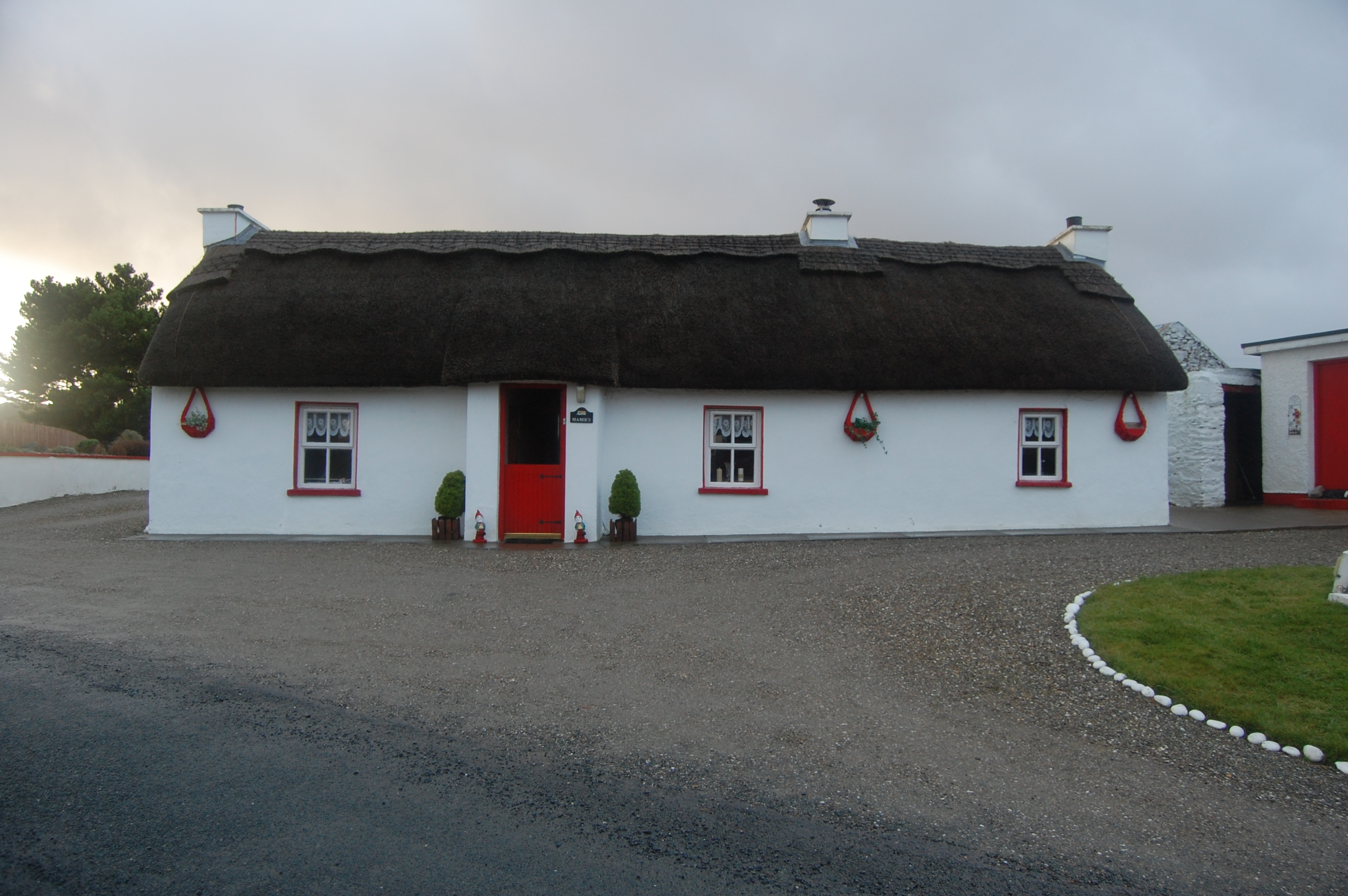 Mamie'shouse · 1.5 mi
 Wych ElmWych Elm · 1.6 mi
 DooeyOfficial bathing water · 2.6 mi
 Narin–Portnoo StrandOfficial bathing water · 3.1 mi
 InishkeelIslet · 3.4 mi
 Doon FortFairy fort / stone ringfort · 3.7 mi
 St. Connell's Museum and Heritage CentreMuseum · 4.6 mi