What is recorded here
A series of features spread over a boggy S-facing hillslope. The most northerly (1 on location plan) consists of a hut-like feature 5m E-W × 4m N-S. It is defined by an earthen bank except for a 4m wide gap to the S. Three stones set on edge define this side. On the N of the site is an extensive low spread of grass and turf-covered stones. This extends to the W to join the N end of a stone field wall which runs to the SW. 3m E of the 'hut' are three closely set lines of small stones running roughly NW-SE over a distance of 7m. There is an indication of a possible fourth line on the E. The S end is limited by recent ploughing and land reclamation. The stones do not exceed .4m in height. A number of flints including several worked pieces were picked up to the S of these stone lines and 'hut'. About 60m SE of these (3 on location plan) a small, circular, stone-outlined, hut-like feature was located but has since been removed. A few flint flakes were also found here. About 150m SW of (1) above, is an oval setting of low stones (2 on location plan). This measures 9.5m N-S × 8m E-W. The perimeter stones measure c. 0.4m in height with those in the interior c. 0.2m high. The stones in the interior seem, for the most part, to be arranged in a series of paired parallel lines. The sites are located on boggy land currently being reclaimed. This, together with the finding of flint pieces would seem to suggest a Neolithic or Bronze Age date for the sites. A bronze spearhead was found just across the road c. 1952 (NMI).
Swan (1955, 49) referred to 'a double row of small slabs suggestive of a gallery grave' in Creeve, i.e. Creeveoughter, townland. This is not a gallery grave but a series of closely spaced lines of stones, part of a prehistoric complex (Lacy 1983).
The above description was published in the 'Survey of the Megalithic Tombs of Ireland. Volume VI, County Donegal.' Compiled by: Eamon Cody (Dublin: Stationery Office, 2002).
Date of upload: 22 September 2008
The monument record does not grant public access. Check the route and ask the landowner before entering private land.
- What survives
- Recorded monument
Places near here
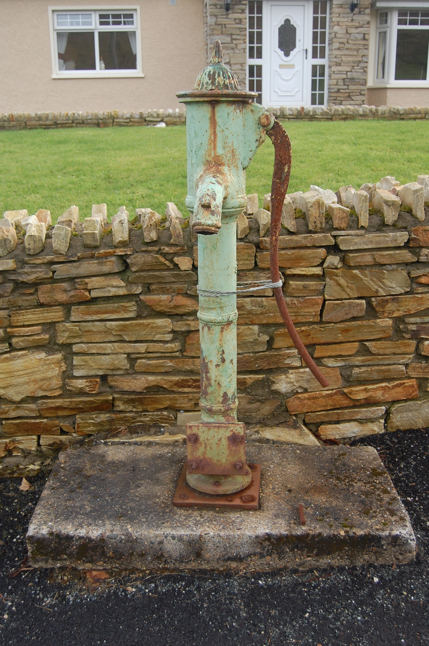 water pumpwater pump · 1666 yd
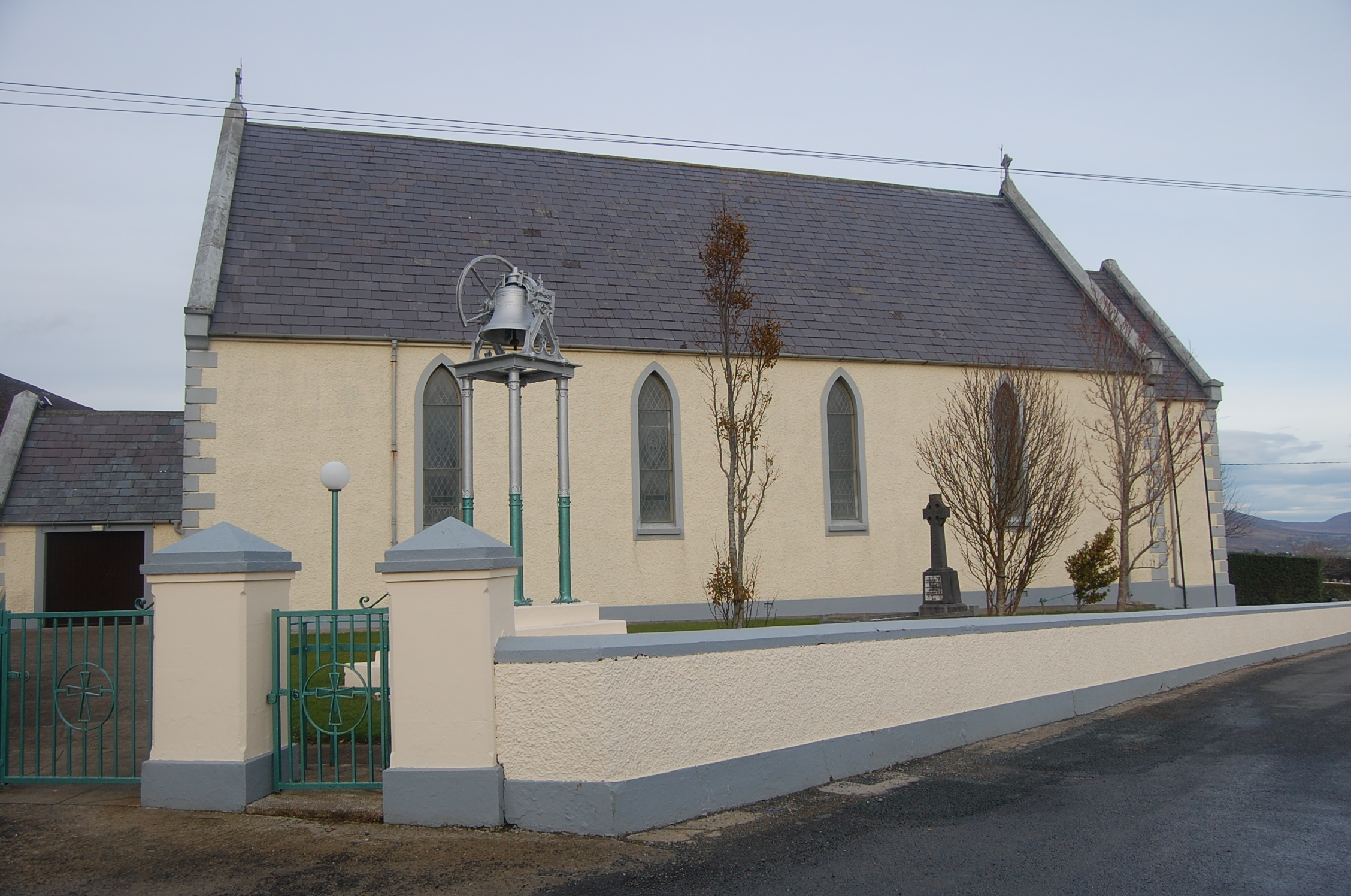 Saint Mary's Catholic Churchchurch/chapel · 1.1 mi
 Drumhallagh Upper Court TombCourt tomb · 1.3 mi
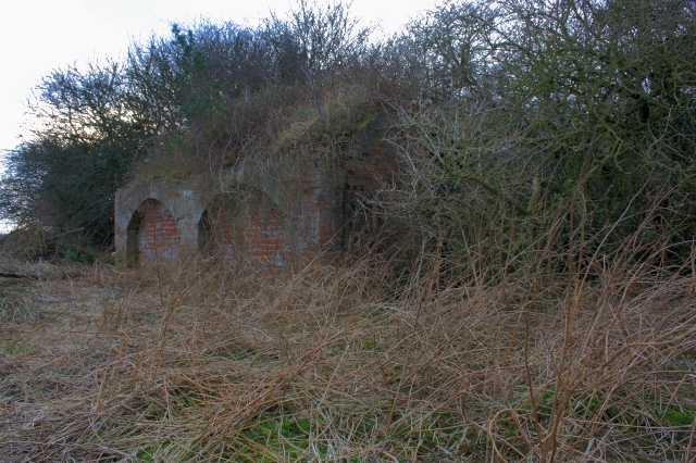 Former Lurganboy EnclosureEnclosure · 1.5 mi
 Croaghan HillMountain / peak · 2.5 mi
 Ballymastocker StrandViewpoint · 2.9 mi
 Wild Atlantic Way:Ballymastocker StrandVisitor information · 2.9 mi
 PortsalonOfficial bathing water · 3.4 mi
 Rough IslandIslet · 3.8 mi
 Cranberry IslandIslet · 3.8 mi
 Rathmullan Wood Nature ReserveNature reserve · 3.9 mi
 Wych ElmWych Elm · 3.9 mi