What is recorded here
Depicted as a circular structure with the designation 'Tower in Ruins' on OS 1836 ed. Not marked on subsequent eds. Situated on the summit of a low drumlin hill. No visible remains at ground level.
The above description is derived from the published 'Archaeological Inventory of County Cavan' (Dublin: Stationery Office, 1995). In certain instances the entries have been revised and updated in the light of recent research.
Date of upload/revision: 22 December 2008
The monument record does not grant public access. Check the route and ask the landowner before entering private land.
- What survives
- Recorded monument
Places near here
 IndicatedFairy fort / earthen ringfort · 223 yd
 Tomkinroad Househouse · 969 yd
 St Columba's Church of Ireland Churchchurch/chapel · 1490 yd
 Enclosure in KillicarEnclosure · 1.3 mi
 Drumalee Bog WoodWood · 1.5 mi
 Drumcoole Drumacon Bog WoodWood · 1.6 mi
 CastleCastle, unclassified · 1.7 mi
 Castel Bagshaw in RuinsCastle, unclassified · 2.3 mi
 KillycramphMountain / peak · 2.4 mi
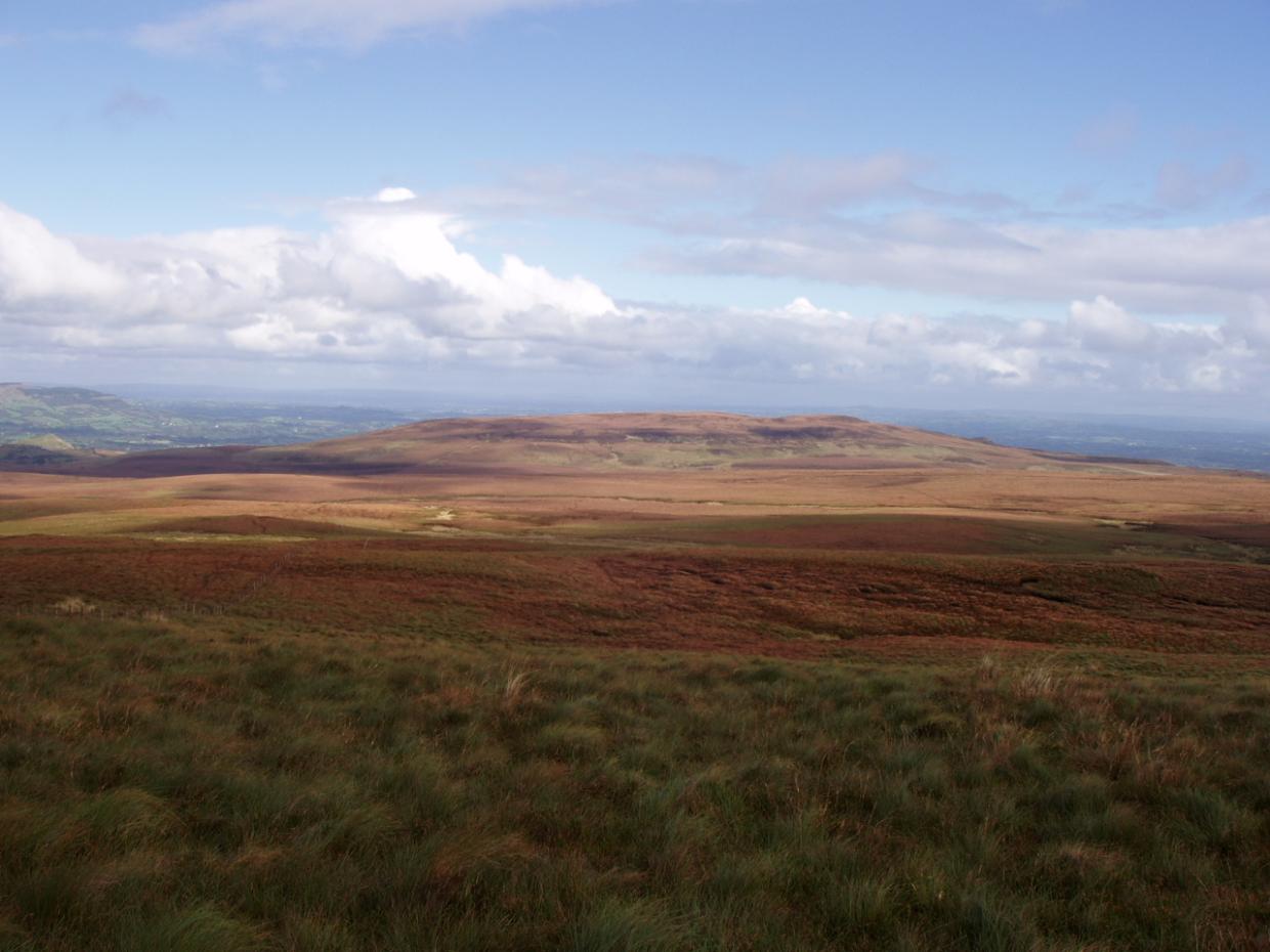 DrumettaghMountain / peak · 2.6 mi
 Mill WalkVisitor information · 2.8 mi
 Kieran Doherty TD Cavan Monaghan MemorialMonument · 2.9 mi