What is recorded here
This structure, identified as Structure 5, was revealed during the course of research excavations in the W half of the inner enclosure at Dún Aonghasa (GA110-039----). Only the foundation course (L 3m; H 0.48m) of its NW sector survived and the remains were too incomplete to suggest a ground plan. The surviving wall was of mixed construction with the central part being double-faced (Wth 0.82m) and both ends consisting of single orthostats. No occupation horizon could be unequivocally associated with it. Stratigraphically the structure was later than structure 8b (GA110-039005-) - its S wall had partly truncated the N wall of the latter - and it pre-dated the secondary refurbishment of the wall of the inner enclosure. Structure 2 (GA110-039007-) post-dated it (Cotter 2012, vol. 1, 306-7; 310; vol. 2, 246).
Compiled by: Olive Alcock
Date of upload: 22 June 2020
The monument record does not grant public access. Check the route and ask the landowner before entering private land.
- What survives
- Recorded monument
Places near here
 DunaengusCliff-edge fort · 17 yd
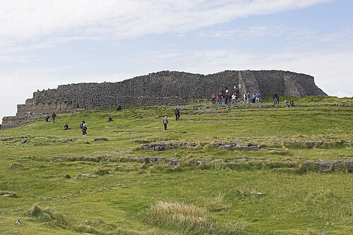 Dún AonghasaNature reserve · 46 yd
 Not locatedStructure · 61 yd
 Kilmurvey BeachBeach / strand · 313 yd
 TemplenaneeveChurch · 946 yd
 IndicatedChurch · 1394 yd
 Castle (in ruins)Castle, unclassified · 1.6 mi
 ÁrainnIsland · 1.6 mi
 An CharcairMountain / peak · 2.0 mi
 Seal Colony LookoutViewpoint · 2.4 mi
 An tOileán ThiarIslet · 3.5 mi
 Trá na mBuailte (Beach of the Booly)Beach / strand · 4.0 mi