What is recorded here
Within the NE quadrant of a cashel (GA044-025001-). This raised rectangular structure or platform (E-W 24.6m, N-S 17.3m, H 1m) is defined by a grass-covered stone wall. Immediately to W of it is a second lower platform (E-W 5 m, N-S 4m) of similar character but poorly defined.
The above description is derived from the published 'Archaeological Inventory of County Galway Vol. II - North Galway'. Compiled by Olive Alcock, Kathy de hÓra and Paul Gosling (Dublin: Stationery Office, 1999). In certain instances the entries have been revised and updated in the light of recent research.
Updated by: Olive Alcock
Date of revised upload: 15 September 2015
The monument record does not grant public access. Check the route and ask the landowner before entering private land.
- What survives
- Recorded monument
Places near here
 Cuilbeg FortFairy fort / stone ringfort · 22 yd
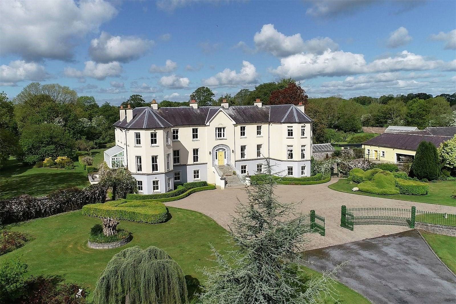
 Barbersfort Housebuilding misc · 405 yd
 Cloonlusk FortArchaeological place · 887 yd
 Cahergal Bridgebridge · 966 yd
 CastleCastle, unclassified · 1.7 mi
 Barnaderg CastleCastle · 2.2 mi
 Knockmoy AbbeyHeritage attraction · 2.6 mi
 Common WhitebeamCommon Whitebeam · 4.9 mi
 SycamoreSycamore · 4.9 mi
 Mass RockNamed rock · 7.5 mi
 Lisherriddy FortFairy fort / earthen ringfort · 995 yd
 Barbersfort Ho.House, 18th/19th century · 1045 yd