
What is recorded here
Situated on a NE-facing slope of a NE-SW ridge. The church (WX031-038001-) is within the graveyard (WX031-038002-) at S. A second rectangular structure is visible as a sunken area (dims. 8.5m E-W; 5m N-S) inside the perimeter of the graveyard enclosure at N.
Compiled by: Michael Moore
Date of upload: 27 August, 2012
The monument record does not grant public access. Check the route and ask the landowner before entering private land.
- What survives
- Recorded monument
Places near here
 Church WellHoly well · 79 yd
 IndicatedFairy fort / earthen ringfort · 368 yd
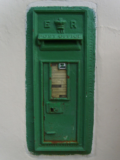 post boxpost box · 1747 yd
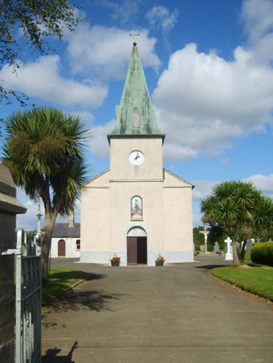 Catholic Church of Saint John the Baptistchurch/chapel · 1.0 mi
 (Site of) Doonoonen CastleCastle, motte · 1.5 mi
 Raheennahoon HillMountain / peak · 2.0 mi
 Camaross HillMountain / peak · 2.1 mi
 (Site of) CastleCastle, unclassified · 2.9 mi
 Glenour MonumentMemorial · 3.0 mi
 Celebrating 125 YearsMemorial · 3.6 mi
 King's IslandIsland · 4.7 mi
 Battle Of The Three RocksMemorial · 5.7 mi
Other information
Photo: Credit not shown in the picture search · Rights wording not checked; contact us if this picture should be removed