What is recorded here
The remains of a circular structure was excavated in 2002 in advance of the construction of the N22 Ballincollig Bypass. This structure (diam. 7.4m) was represented by an arc of eleven post-holes (diam. c. 0.4m; D c. 0.36m) spaced out at regular intervals (1.4-1.6m). Natural erosion may have been responsible for the absence of post-holes N-NE. No evidence of a hearth, occupational layers or internal features was uncovered during the excavation. Charcoal taken from the predominant fill of one of the post-holes was dated to 360-280 BC. (Danaher 2004d, 55-6; Danaher and Cagney 2004a)
The above description is derived from 'The Archaeological Inventory of County Cork. Volume 5' (Dublin: Stationery Office, 2009).
Date of upload: 22 December 2009
The monument record does not grant public access. Check the route and ask the landowner before entering private land.
- What survives
- Recorded monument
Places near here
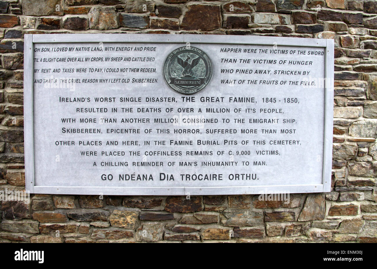 Pit-burial in Ballinaspig MorePit-burial · 165 yd
 Fulacht FiadhFulacht fia · 791 yd
 Murphy's FarmHeritage attraction · 799 yd
 Ballincollig ViewViewpoint · 948 yd
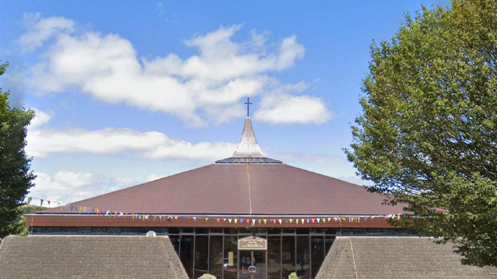 Church in Ballinaspig MoreChurch · 961 yd
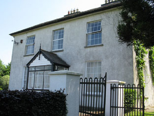 Castlewhitehouse · 1456 yd
 Caslte (Site of)Castle, unclassified · 1484 yd
 viaduct city viewViewpoint · 1759 yd
 Sunday WellSpring · 1.3 mi
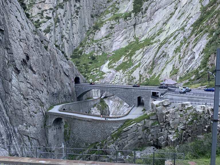 Monument WaterfallMonument · 1.4 mi
 Graveyard in BallynoraGraveyard · 1.6 mi
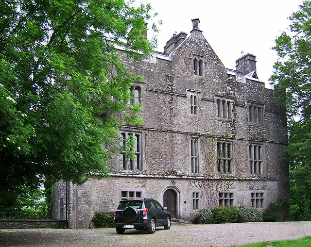 Carrigrohane Castle (in Ruins)Castle, Anglo-Norman masonry castle · 1.9 mi