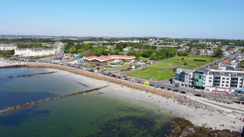
What is recorded here
Located at the junction of Ardbear Bay and Clifden Bay, to the E of a small islet, named ‘Islandagar’ on the OS 6-inch maps. This roughly square structure (6m x 6m) was found by Michael Gibbons, archaeologist, and Shane Joyce, Clifden. It is defined by a single course of well-laid stones; traces of a possible flagged floor were visible within its interior. The structure is only exposed at low spring tides. A curving stone wall (GA035-079002-) was also noted, c. 90m to the NW. Both structures may be associated with a drowned prehistoric landscape (pers. comm. M. Gibbons 14 July 2020).
Compiled by: Olive Alcock
Date of upload: 9 October 2020
The monument record does not grant public access. Check the route and ask the landowner before entering private land.
- What survives
- Recorded monument
Places near here
 Field boundary in Atlantic OceanField boundary · 99 yd
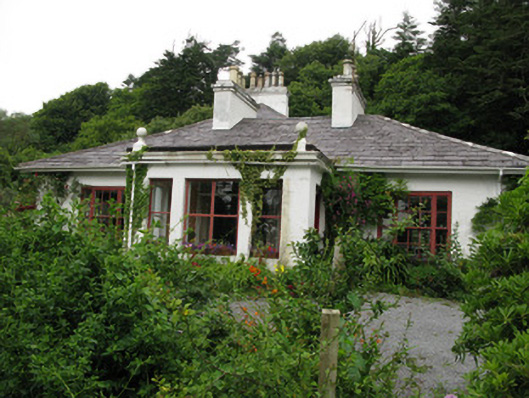 Gleann Aoibheannhouse · 579 yd
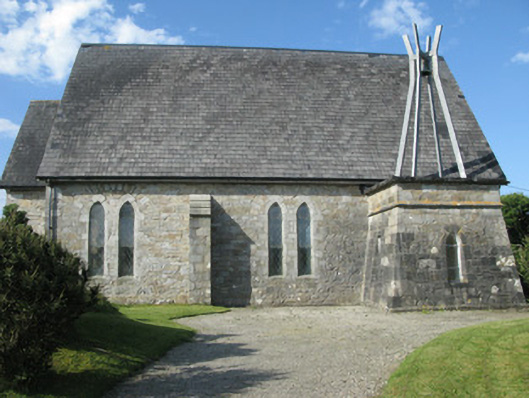 Holy Trinity Church (Ballindoon)church/chapel · 1141 yd
 Abbeyglen Castle HotelCastle · 1343 yd
 IndicatedGraveyard · 1556 yd
 Alcock and Brown Atlantic CrossingMemorial · 1.2 mi
 Lavelle Art GalleryGallery · 1.2 mi
 Station House MuseumMuseum · 1.3 mi
 Boolard IslandIslet · 2.1 mi
 Mannin BayBay · 2.4 mi
 Mannin Bay Coral StrandBeach / strand · 2.7 mi
 Bawn in Doon (ballynahinch By.)Bawn · 3.0 mi
Other information
Photo: Credit not shown in the picture search · Rights wording not checked; contact us if this picture should be removed