What is recorded here
Within the NE quadrant of an enclosure (GA083-020----). Noted by McCaffrey (1952, 113, no. 14) and annotated 'B' on his site plan; described as an 'enclosure' (9.7m N-S; 5.1m E-W) defined by a grass-covered bank (Wth 1m; int. H 0.79m; ext. H 0.79m) with a doorway (Wth 1.2m) towards the S end of the W side. On inspection in June 1983 only the foundations were evident. A possible house site (GA083-020001-) lies in the SW quadrant.
Compiled by: Olive Alcock
Date of upload: 19 February 2019
The monument record does not grant public access. Check the route and ask the landowner before entering private land.
- What survives
- Recorded monument
Places near here
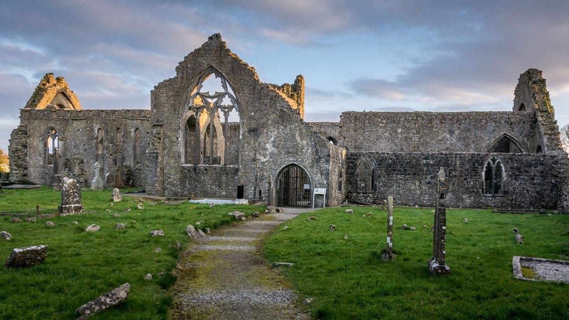 Enclosure in An Carn Mór ThiarEnclosure · 1 yd
 Cloghmoyle Castle (in ruins)Castle, unclassified · 277 yd
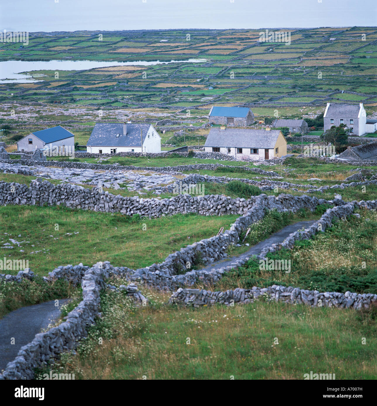 Concentric enclosure in An Carn Mór ThiarConcentric enclosure · 500 yd
 Quarry in Cashla (aughrim Ed )Quarry · 1.1 mi
 Castle (in ruins)Castle, unclassified · 1.8 mi
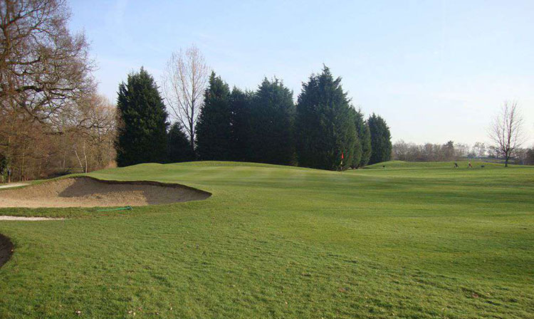 Moor Abbey (in ruins)Religious house, unclassified · 1.8 mi
 European BeechEuropean Beech · 4.4 mi
 Aunteen WoodsWood · 4.7 mi
 Leadmine HillMountain / peak · 5.5 mi
 Rabbit IslandIslet · 5.9 mi
 Ardfry PointHeadland · 7.1 mi
 Mechanics InstituteMemorial · 7.2 mi