
What is recorded here
Internal diam. 54m. A partially destroyed subcircular raised area enclosed by the remains of an earthen bank surviving up to 1.5m in height on the W its best preserved side. There are possible indications of a fosse outside this section. The E side has been almost entirely removed. In the interior there are remains of several features but as the site has been much reused and is much overgrown the configuration and date of these structures is difficult to determine. It is situated on the summit of a hill on cultivated land with wide views in all directions.
The above description was derived from the 'Archaeological Survey of County Donegal. A description of the field antiquities of the County from the Mesolithic Period to the 17th century.' Compiled by: Brian Lacey with Eamon Cody, Claire Cotter, Judy Cuppage, Noel Dunne, Vincent Hurley, Celie O'Rahilly, Paul Walsh and Seán Ó Nualláin (Lifford: Donegal County Council, 1983). In certain instances the entries have been revised and updated.
Date of upload: 22 September 2008
The monument record does not grant public access. Check the route and ask the landowner before entering private land.
- What survives
- Recorded monument
Places near here
 Enclosure in CottownEnclosure · 409 yd
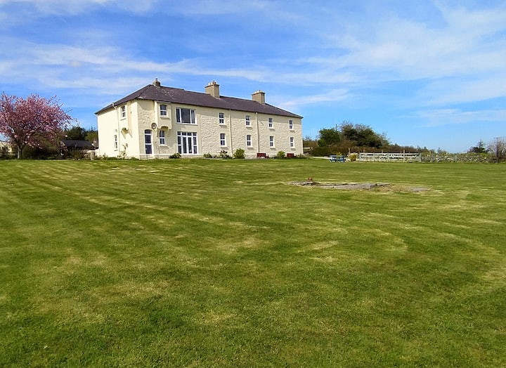
 outbuildingoutbuilding · 753 yd
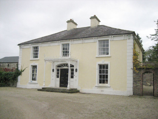 Topshouse · 850 yd
 Cloghfin Standing StonePublicly named standing stone · 896 yd
 Carnowen HillMountain / peak · 1.3 mi
 PalaceHouse, fortified house · 2.0 mi
 Croaghan HillMountain / peak · 2.7 mi
 OutlinedBawn · 2.8 mi
 Feddyglass WoodWood · 3.6 mi
 BATTLE SITE: in 789 AD & BATTLE OF THE FORDS , Southern crossing, 1689 in Clady; DonnygowanBATTLE SITE: in 789 AD & BATTLE OF THE FORDS , Southern crossing, 1689 · 4.0 mi
 BATTLE SITE: BATTLE OF THE FORDS, Central crossing, 1689 in Magirr; Town Parks OF StrabaneBATTLE SITE: BATTLE OF THE FORDS, Central crossing, 1689 · 4.6 mi
 European YewEuropean Yew · 10 mi
Other information
Photo: Credit not shown in the picture search · Rights wording not checked; contact us if this picture should be removed