What is recorded here
An entry in an OS Name Book (1835) claims that in this townland there are 'some remarkable stones supposed to be Druidical remains'. The feature may be that described by the word 'Stones' on the Fair Plan of the original OS 6-inch map (1835), in the typeface used to denote antiquarian features, at or near the position indicated in the heading, although there is no accompanying dot or mark to show its exact location. It is also named on the published map but not in antiquarian typeface, which suggests that on final consideration it was deemed not to be an antiquity. The name does not appear on later editions of the OS 6-inch map. There are no remains at the site, which is on rolling land c. 2km N of Carrigans in the basin of the River Foyle. The nature of this feature remains uncertain.
OS Name Book, All Saints parish (1833), 23.
The above description was published in the 'Survey of the Megalithic Tombs of Ireland. Volume VI, County Donegal.' Compiled by: Eamon Cody (Dublin: Stationery Office, 2002).
Date of upload: 22 September 2008
The monument record does not grant public access. Check the route and ask the landowner before entering private land.
- What survives
- Recorded monument
Places near here
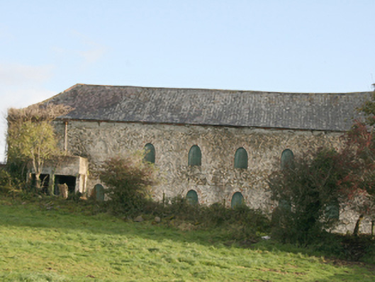 outbuildingoutbuilding · 708 yd
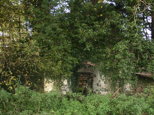 kilnkiln · 724 yd
 Fairy fort / ringfort in AltaghaderryFairy fort / ringfort · 1587 yd
 ENCLOSURE in KilleaENCLOSURE · 1.1 mi
 CastleCastle, unclassified · 1.4 mi
 Emmery Celtic CrossWood · 2.2 mi
 Prehen WoodsForest · 3.6 mi
 Grianán of AileachFairy fort / stone ringfort · 3.6 mi
 Greenan MountainMountain / peak · 3.6 mi
 Gortmonly HillMountain / peak · 4.0 mi
 Double BastionViewpoint · 4.3 mi
 Seán Ó CianáinMemorial · 4.3 mi