What is recorded here
An alignment of stones orientated NNE-SSW. From N to S it consists of, in turn, a single standing stone, two standing stones parallel to each other, a single standing stone, and two collapsed stones. Situated on low, marshy ground presently being reclaimed.
The above description was derived from the 'Archaeological Survey of County Donegal. A description of the field antiquities of the County from the Mesolithic Period to the 17th century.' Compiled by: Brian Lacey with Eamon Cody, Claire Cotter, Judy Cuppage, Noel Dunne, Vincent Hurley, Celie O'Rahilly, Paul Walsh and Seán Ó Nualláin (Lifford: Donegal County Council, 1983). In certain instances the entries have been revised and updated.
Date of upload: 22 September 2008
Likely dating to the Neolithic or Early Bronze Age, this stone row may have functioned as a ceremonial or ritual alignment, possibly linked to astronomical observations or territorial markers. Such arrangements are often associated with funerary or seasonal rituals, though specific folklore or use in this area is not recorded.
The monument record does not grant public access. Check the route and ask the landowner before entering private land.
- What survives
- Recorded monument
Places near here
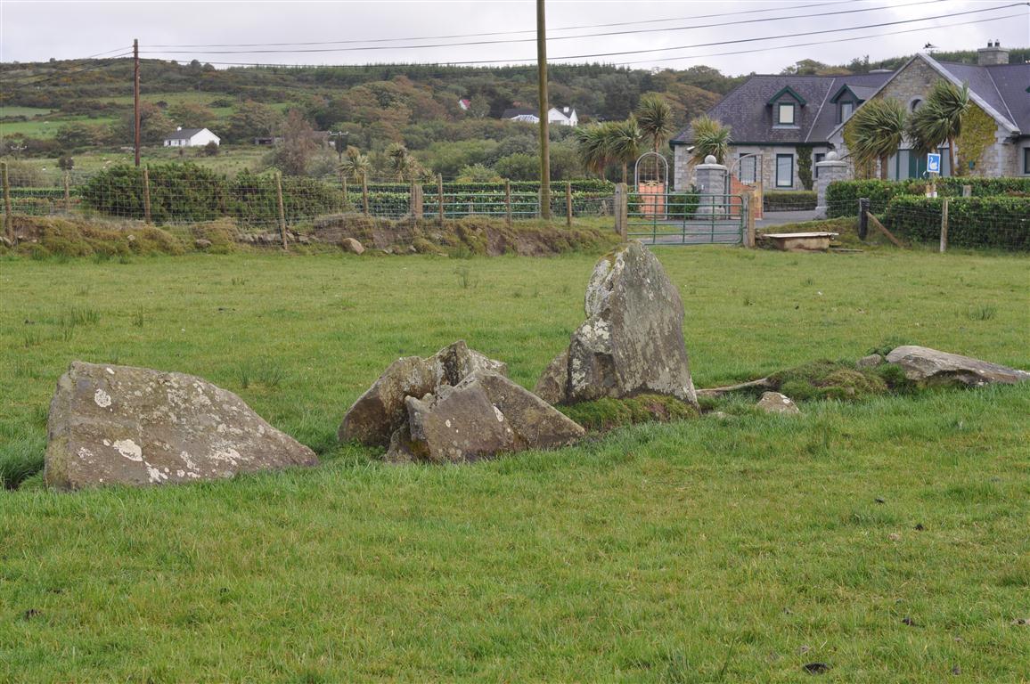 Rashenny Burial near the Standing StoneBurial · 201 yd
 railway stationrailway station · 715 yd
 Enclosure in RashennyEnclosure · 1189 yd
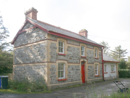 Ballyliffin Railway Stationrailway station · 2.0 mi
 Dough Famine VillageHeritage attraction · 2.1 mi
 Doagh Famine VillageMuseum · 2.1 mi
 CastleCastle, unclassified · 2.3 mi
 Five Finger StrandBeach / strand · 2.8 mi
 Bawn in CarrickabraghyBawn · 2.8 mi
 Lag GraveyardGraveyard · 3.0 mi
 Carndonagh Early Church GraveyardGraveyard · 3.4 mi
 Glashedy IslandIslet · 3.5 mi