What is recorded here
In rough pasture, located on a natural rise or terrace on the lower S-facing slopes of the Partry Mountains. The location overlooks the western shores of Lough Mask, with the skyline at S−SW dominated by the dramatic ridges of Maumtrasna Mountain. This stone row consists of three close-set, earth-fast upright stones in a NE−SW row, 4m in total length. The central stone, a gneiss boulder, is noticeably larger and taller than the two rounded granite stones which flank it. The long axis of each stone mirrors that of the row as a whole.
SW stone (L 0.6m NE−SW; T 0.4m; H 0.65m): a rounded granite boulder, roughly oval or lozenge-shaped in cross-section, narrowing at top to a rough peak.
Middle stone (L 1.45m NE−SW; T 0.7m; H 1.3m): a gneiss boulder, seamed with natural cracks, relatively straight-sided, with a flattish surface on top, sloping slightly to N; roughly lozenge-shaped cross-section. It is 0.45m to NE of the SW stone.
NE stone (L 1m NE−SW; T 0.7m; H 0.75m): a rounded granite boulder, roughly oval or lozenge-shaped in cross-section. It is 0.9m NE of the middle stone.
A random scatter of small stones around the base of the row appears to be have accumulated here relatively recently.
A ringbarrow (MA116A005002-) is located 2m to E of the stone row. Another stone row (MA116A006001-) and a cairn (MA116A006002-) are located 300m to WSW.
Images:
MA116A005001-_01.JPG viewed from E
MA116A005001-_02.JPG viewed from S
MA116A005001-_03.JPG viewed from SE, with ranging rod marking ringbarrow (MA116A005002-) in foreground
Compiled by: Jane O’ Shaughnessy
Date of upload: 27 September 2017
Likely dating to the Neolithic or Bronze Age, the stone row in Lettereeneen may have functioned as a ceremonial or ritual alignment, possibly linked to astronomical observations or territorial markers. Its positioning on a prominent slope suggests a symbolic or spiritual connection to the landscape, particularly the view over Lough Mask and the surrounding hills.
The monument record does not grant public access. Check the route and ask the landowner before entering private land.
- What survives
- Recorded monument
Places near here
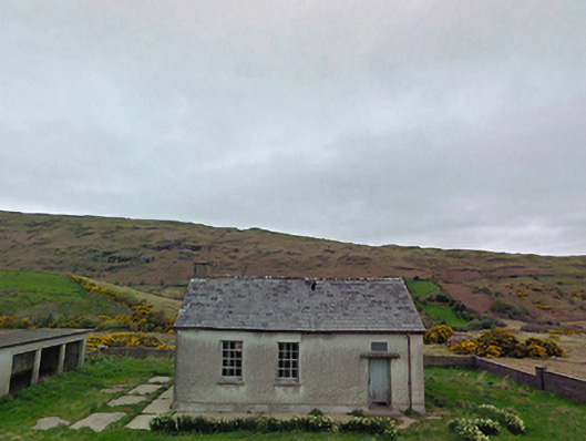 Glensaul National Schoolschool · 1438 yd
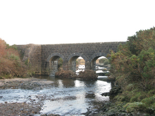 bridgebridge · 1.2 mi
 Runnet HillMountain / peak · 1.2 mi
 Strand RockIslet · 1.6 mi
 Dash IslandIslet · 1.6 mi
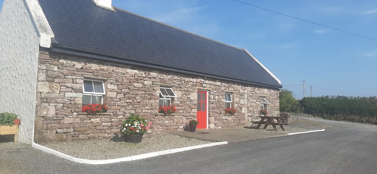 ToberkeelaghHoly well · 2.5 mi
 IndicatedEnclosure · 2.6 mi
 Coill Thuar Mhic ÉadaighWood · 3.0 mi
 Doon RockNamed rock · 3.3 mi
 CarrigeenbaunNamed rock · 3.8 mi
 Ballindeonagh Castle (in ruins)Castle, unclassified · 5.0 mi
 BencorraghMountain / peak · 5.7 mi