What is recorded here
Stone row described by O'Hare (1996, 10) as consisting of; 'three stones, one of which is lying prostrate. A short distance west of the monument, the field of pasture in which it stands, slopes away to the north, south and west. The site commands a fine view over the Paps Mountains to the south. In the distance Carrauntoohil is visible to the southwest. Currow hill rises to the northwest, while further hills and valleys lie to the north and northeast. The alignment has an overall length of c. 8.3m, and runs in a northeast-southwest direction. Stone 1, which stands at the northeast end of the alignment, consists of a sandstone block. It measures 1.5Sm in height, 1.05 in breadth and 72cm in width. A field fence has been built against the east face of the stone, while a drain has been dug around its base. Stone 2, also of sandstone, stands 1.8m to the southwest of stone 1. It measures 1.55m in height, c. 1m in breadth and c. 80cm in width. The prostrate stone 3 lies at a distance of 2.5m to the southwest of stone 2. The surface of this stone is noticeably cracked and brittle. According to the landowner, a fire was once set upon it, in an effort to break the stone up. Consisting of a calcareous sandstone containing a quartz vein, the stone measures 2.45m in length, and 1.70m in width. It is 62cm thick'.
See attached plan and elevation drawings of stone row taken from O'Hare 1996
Compiled by: Caimin O'Brien
Date of upload: 21 April 2022
Likely dating to the Neolithic or Bronze Age, the stone row in Knockrower West may have functioned as a ceremonial or ritual alignment, possibly related to astronomical or territorial markers. Interpretations of its meaning or use remain speculative, with local folklore not specifically recorded.
The monument record does not grant public access. Check the route and ask the landowner before entering private land.
- What survives
- Recorded monument
Places near here
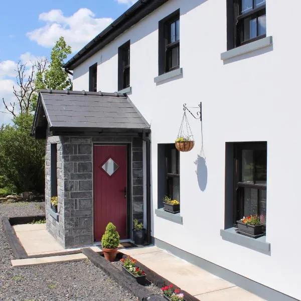 Enclosure in KnockeennahoneEnclosure · 1.4 mi
 Barna BogForest · 1.5 mi
 Enclosure in Derreen (trughanacmy By.)Enclosure · 1.8 mi
 Anablaha Br.Bridge · 2.3 mi
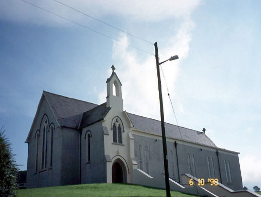 Catholic Church of Our Lady of Lourdeschurch/chapel · 2.9 mi
 SlievebrickanMountain / peak · 3.0 mi
 Site of Ardnagragh CastleCastle, unclassified · 4.7 mi
 Ardnacreach CastleCastle · 4.8 mi
 Doctor's HillMountain / peak · 5.5 mi
 Nohaval WoodWood · 7.2 mi
 Famine MemorialMemorial · 9.0 mi
 Kerry 2nd Brigade of the Irish Republican ArmyMemorial · 9.0 mi