What is recorded here
Five stones stand in a shallow bog line, the tallest rising one and a half metres above the black earth. The smallest has almost vanished beneath the growing moss, suggesting that the row is not finished but being erased. People may have placed them as a marker, a boundary or a prayer, yet the bog has taken back the answer. What remains is a stubborn ridge of stone, still pointing north-east through the wet dark.
Marked 'Cloghbane' on the OS 6-inch maps the site consists of five stones in a line. The central stone is the largest measuring 1.5m high × 1.25m wide × 0.65m thick; NNE-SSW. .75m to the N is a stone .6m high; .7m further N again is another, .4m high. .5m S of the standing stones is a stone, .25m × 0.25m in plan, its top flush with the present ground level; .65m further S again is another, almost buried, stone. Situated in bog land overlooked by higher ground to the S. The bog is growing up around the stones and may conceal others in the same line.
The above description was derived from the 'Archaeological Survey of County Donegal. A description of the field antiquities of the County from the Mesolithic Period to the 17th century.' Compiled by: Brian Lacey with Eamon Cody, Claire Cotter, Judy Cuppage, Noel Dunne, Vincent Hurley, Celie O'Rahilly, Paul Walsh and Seán Ó Nualláin (Lifford: Donegal County Council, 1983). In certain instances the entries have been revised and updated.
Date of upload: 22 September 2008
Likely dating to the Neolithic or early Bronze Age, the stone row may have had ceremonial or ritual significance, possibly aligned with solar or seasonal events. Such arrangements are often associated with funerary or territorial markers in Irish prehistoric landscapes.
The monument record does not grant public access. Check the route and ask the landowner before entering private land.
- What survives
- Recorded monument
Places near here
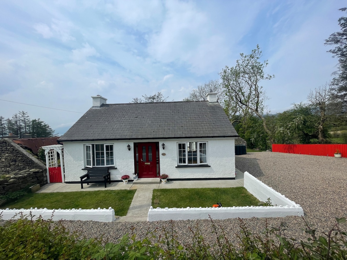 Dermot & Grania's BedArchaeological place · 397 yd
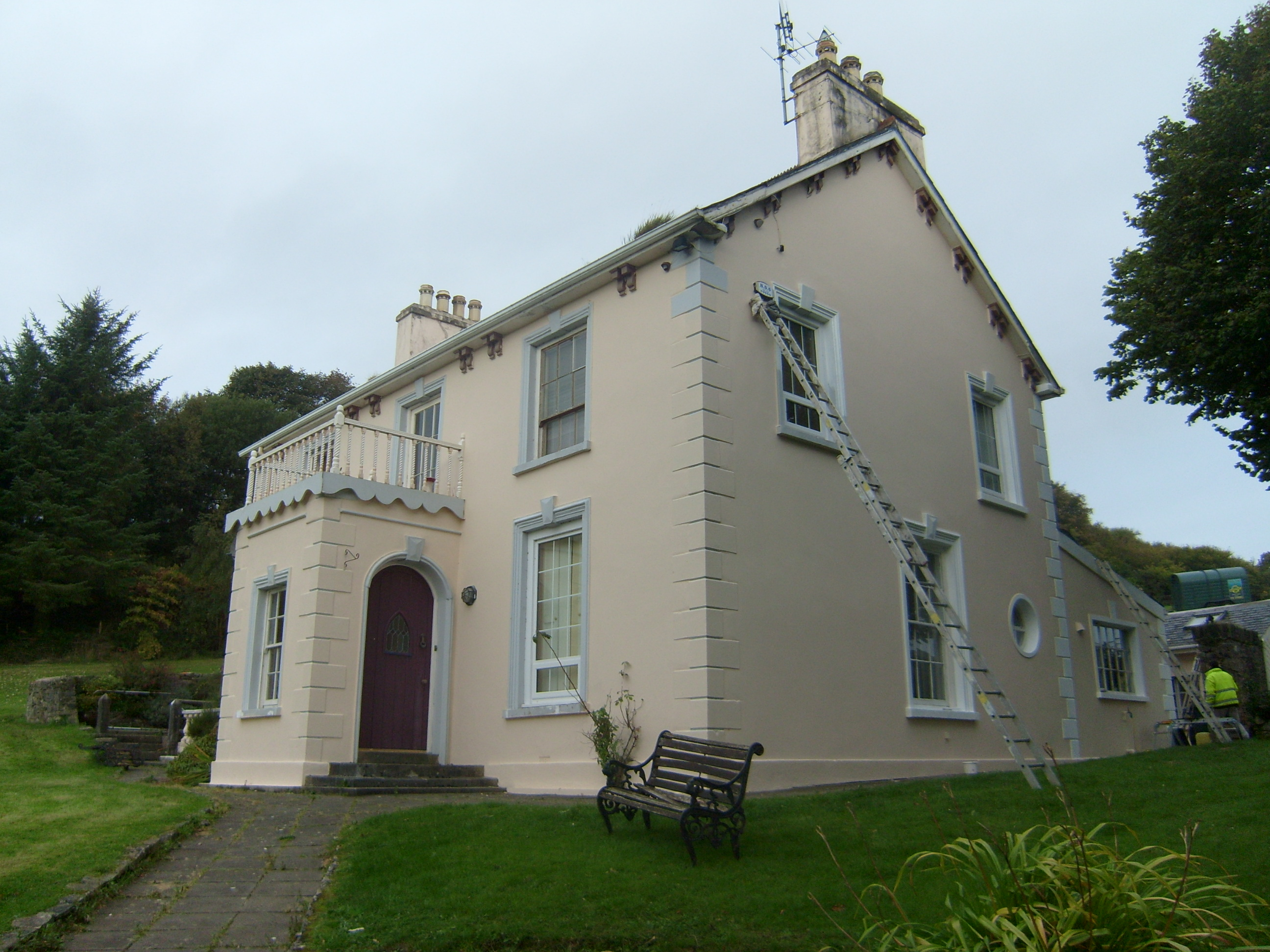 The Mansemanse · 611 yd
 Former Knocknafaugher Stone EnclosureFairy fort / stone ringfort · 847 yd
 Ards Forest ParkForest recreation place · 1110 yd
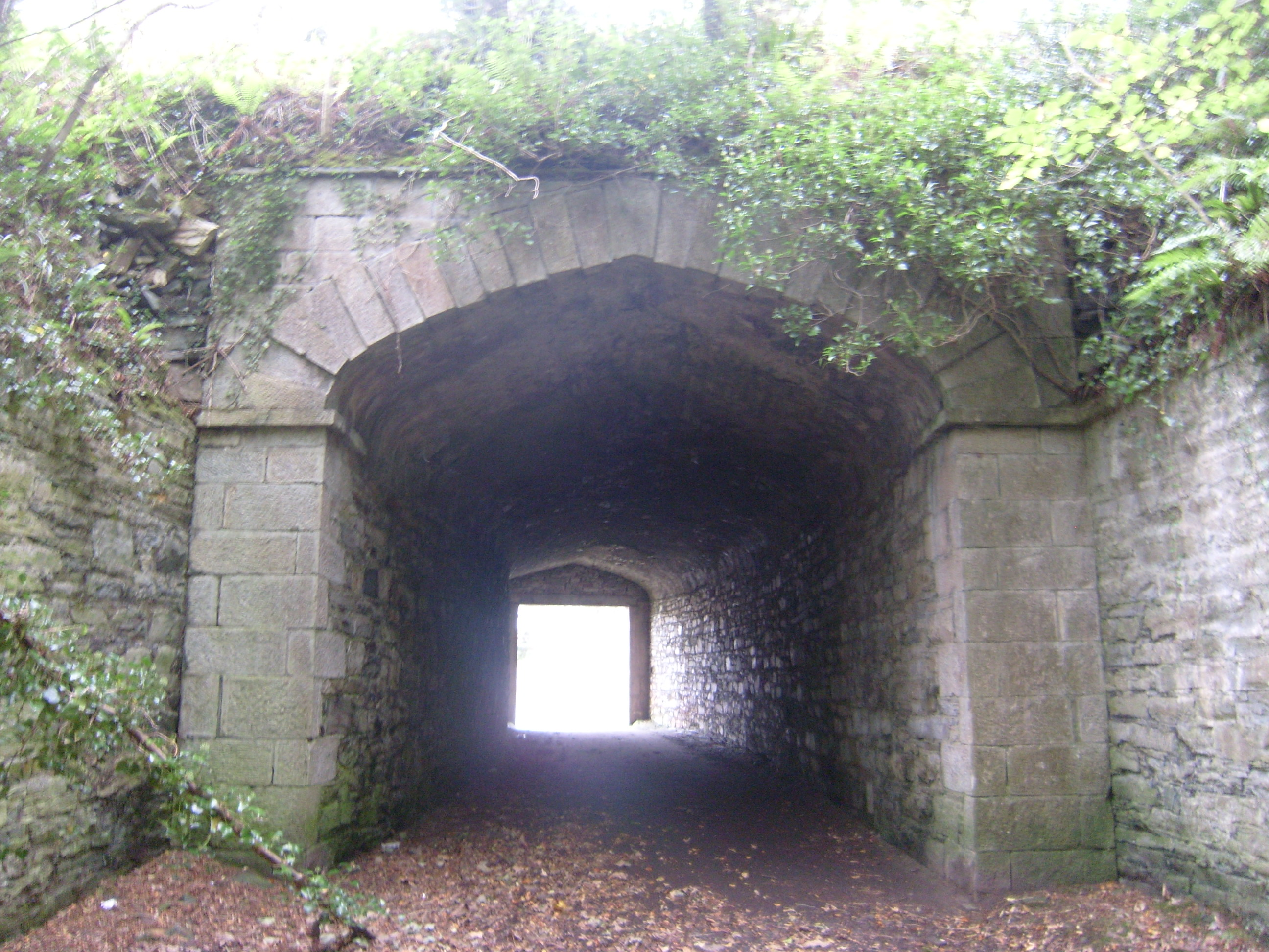 Ards Housetunnel · 1221 yd
 The TunnelHeritage attraction · 1237 yd
 Mc Swynes CastleCastle, unclassified · 1.3 mi
 Boys IslandIslet · 1.7 mi
 Kill Old Church GraveyardGraveyard · 1.8 mi
 Local Wildlife presentationVisitor information · 1.9 mi
 Lockheed Hudson bomber 1942Memorial · 2.1 mi
 KillahoeyOfficial bathing water · 2.1 mi