What is recorded here
Listed as an 'alignment' in the SMR (1986) and as a possible 'stone alignment' in the RMP (1995). At the summit of a small rock knoll on a steep W-facing slope overlooking a ravine. Two pairs of uprights, c. 5m apart along the line of an outcropping ridge. Of the NW pair, the largest stone (H 2m; Wth 1.30m; T 0.70m), leans to the NW. The pairs form an alignment NW-SE. While the stones appear to have been set upright their function is unknown.
Compiled by: Matt Kelleher
Date of upload: 21 December 2012
Likely dating to the Neolithic or Early Bronze Age, the stone row may have had ceremonial or ritual significance, possibly aligned with seasonal or astronomical events. Such arrangements are often associated with funerary practices or territorial markers in prehistoric landscapes.
The monument record does not grant public access. Check the route and ask the landowner before entering private land.
- What survives
- Recorded monument
Places near here
 Fairy fort / earthen ringfort in WoodenboleyFairy fort / earthen ringfort · 665 yd
 IndicatedFairy fort / earthen ringfort · 828 yd
 Church MountainMountain / peak · 1163 yd
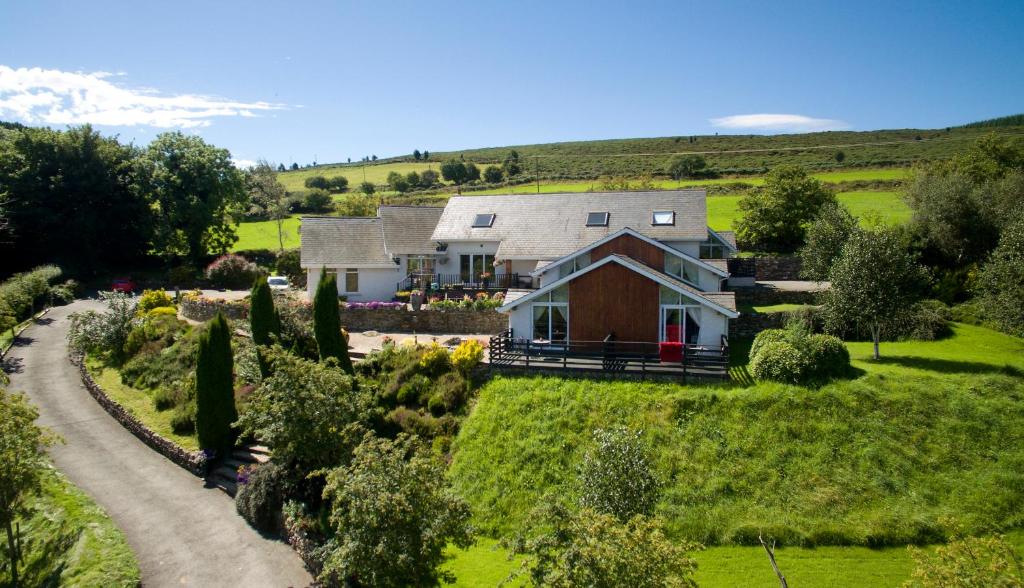 Toor LodgeRuins · 1.3 mi
 Catholic Church of the Holy Trinitychurch/chapel · 1.7 mi
 Pedunculate OakPedunculate Oak · 1.7 mi
 PinnacleMountain / peak · 1.8 mi
 Burial ground in CrehelpBurial ground · 2.0 mi
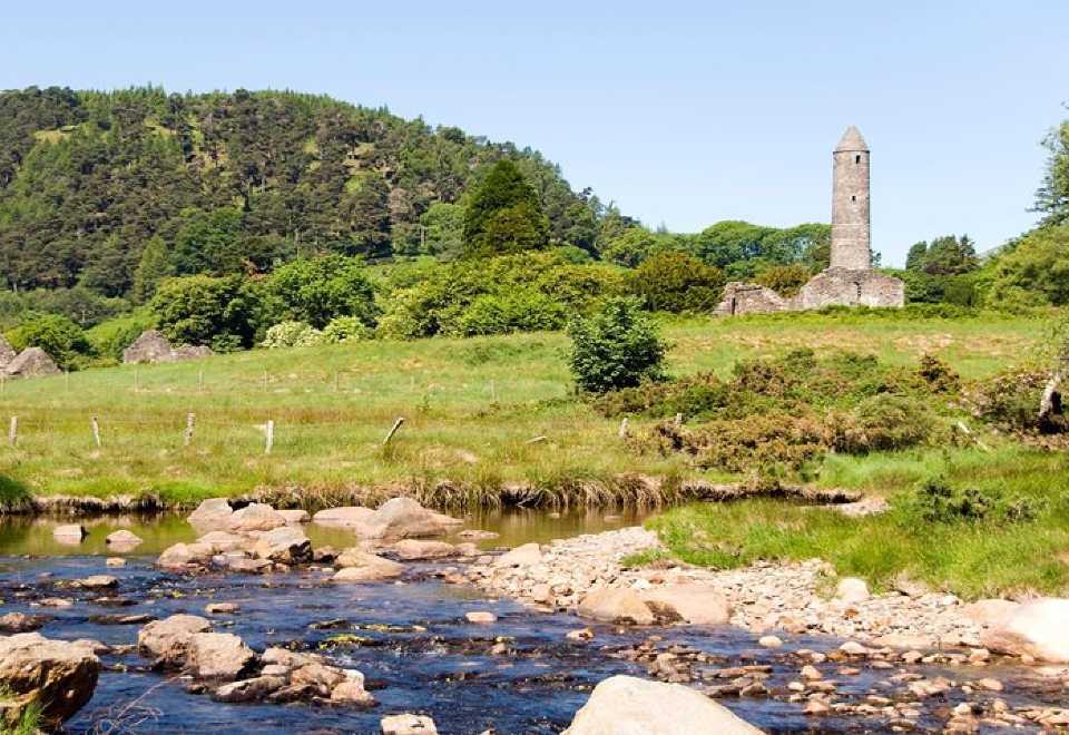 Ball MoatCastle, motte · 2.1 mi
 Hollywood SignHeritage attraction · 2.7 mi
 Saint Kevin's CaveMemorial · 2.8 mi
 Castle BankCastle, motte and bailey · 2.9 mi