What is recorded here
According to correspondence dating to 1939, a possible stone row stood in 'Drinaglough' near Ballydehob (SMR file). As there is no townland of that name in the area, it is presumed that this is a local corruption or variant of the name Dereennaclogh, a townland to the N of Ballydehob. No further details are recorded about this monument. The correspondent also mentions the occurrence of a possible standing stone pair (CO131-065----) and a possible cairn (CO131-068----) in the area. Despite enquiries in 2005, the exact location of this possible row is unknown.
The above description is derived from 'The Archaeological Inventory of County Cork. Volume 5' (Dublin: Stationery Office, 2009).
Date of upload: 22 December 2009
The monument record does not grant public access. Check the route and ask the landowner before entering private land.
- What survives
- Recorded monument
Places near here
 Man-made underground passage in SparrogradaMan-made underground passage · 1384 yd
 KnockaphukeenMountain / peak · 1448 yd
 IndicatedMine, copper · 1522 yd
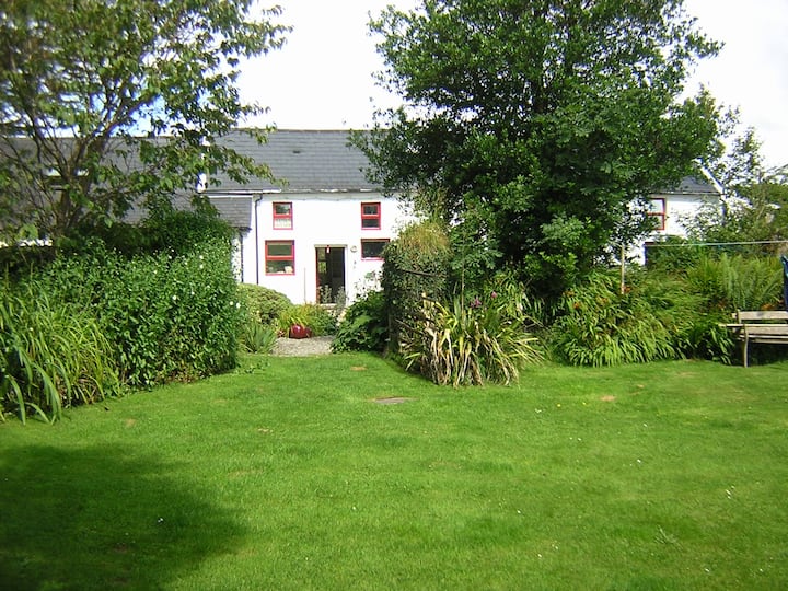 LissabogyFairy fort / earthen ringfort · 1739 yd
 farm housefarm house · 1.2 mi
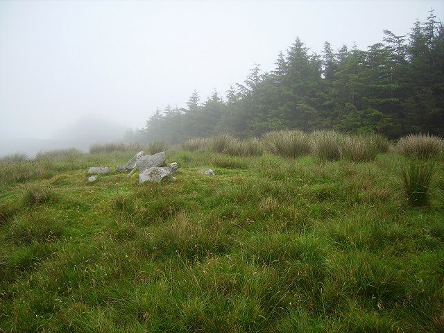 Derrylahard EastMountain / peak · 1.5 mi
 Barnageehy Loop WalkWalking route · 1.7 mi
 Danno O’Mahony statueMemorial · 2.6 mi
 Ballydehob's 3-Arch Road BridgeVisitor information · 2.6 mi
 Ballydehob Railway StationVisitor information · 2.6 mi
 Scart Castle (Site of)Castle, unclassified · 3.6 mi
 Kilcoe CastleCastle · 4.2 mi