What is recorded here
Stone row in Derreennaclogh, County Cork: a possible alignment of stones near Ballydehob, first written about in 1939 under the changed name Drinaglough. No one has found the exact spot since, though the area also holds a possible pair of standing stones and a cairn. The row may still lie under grass, brambles or forgotten field work, waiting for someone to walk the land and remember what shape it made.
According to correspondence dating to 1939, a possible stone row stood in 'Drinaglough' near Ballydehob (SMR file). As there is no townland of that name in the area, it is presumed that this is a local corruption or variant of the name Dereennaclogh, a townland to the N of Ballydehob. No further details are recorded about this monument. The correspondent also mentions the occurrence of a possible standing stone pair (CO131-065----) and a possible cairn (CO131-068----) in the area. Despite enquiries in 2005, the exact location of this possible row is unknown.
The above description is derived from 'The Archaeological Inventory of County Cork. Volume 5' (Dublin: Stationery Office, 2009).
Date of upload: 22 December 2009
The monument record does not grant public access. Check the route and ask the landowner before entering private land.
- What survives
- Recorded monument
Places near here
 Man-made underground passage in SparrogradaMan-made underground passage · 1384 yd
 KnockaphukeenMountain / peak · 1448 yd
 IndicatedMine, copper · 1522 yd
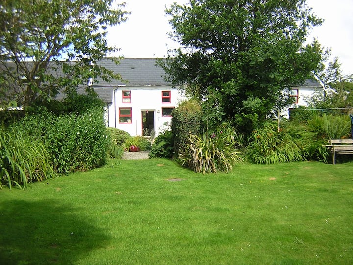 LissabogyFairy fort / earthen ringfort · 1739 yd
 farm housefarm house · 1.2 mi
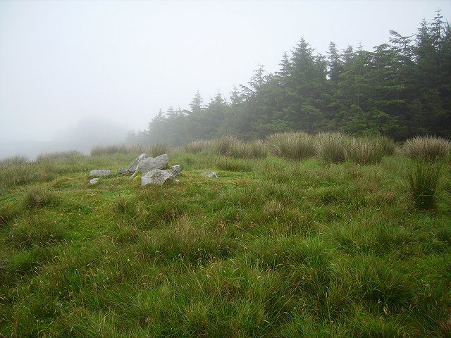 Derrylahard EastMountain / peak · 1.5 mi
 Barnageehy Loop WalkWalking route · 1.7 mi
 Danno O’Mahony statueMemorial · 2.6 mi
 Ballydehob's 3-Arch Road BridgeVisitor information · 2.6 mi
 Ballydehob Railway StationVisitor information · 2.6 mi
 Scart Castle (Site of)Castle, unclassified · 3.6 mi
 Kilcoe CastleCastle · 4.2 mi