What is recorded here
A slightly curving row of 7 low contiguous stones, oriented NNE–SSW, was noted to SSW of a mound (SL005-153001-) during a field inspection in 1991. No other details were recorded, and it was not evident at the time of a follow-up inspection in 2003. Its exact location and nature are uncertain. It may have been a remnant of a field wall.
Compiled by: Jane O'Shaughnessy
Date of upload: 29 May 2019
The monument record does not grant public access. Check the route and ask the landowner before entering private land.
- What survives
- Recorded monument
Places near here
 IndicatedFairy fort / stone ringfort · 208 yd
 CashelnamaddaFairy fort / stone ringfort · 801 yd
 Church (in Ruins)Church · 1439 yd
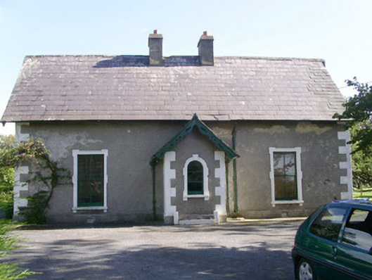 Denver Lodgehouse · 1.4 mi
 BenwiskinMountain / peak · 1.5 mi
 Gleniff Horseshoe DriveViewpoint · 1.7 mi
 Gleniff Horseshoe Drive 2Viewpoint · 1.8 mi
 Benwiskin South TopMountain / peak · 2.1 mi
 Creevykeel Court TombNeolithic court tomb · 2.2 mi
 Trawalua StrandBeach / strand · 2.4 mi
 Dermot & Grania's BedCave · 2.6 mi
 Classiebawn WoodsWood · 2.7 mi