What is recorded here
Canrooska holds three stones in a straight line across a bogged slope beneath Barraboy mountain. The largest has fallen flat at the west end, exposing a long pale edge that marks the row more clearly than any standing stone could. A small cairn sits barely seven metres away, suggesting people kept returning to watch the slope, remember an event or measure the changing light.
On bog-covered S-facing slope of S extension Barraboy mountain. Row of three stones, aligned ENE_WSW. Stone at NE is 0.7m L, 0.3m T and 0.4m H. Middle stone is 0.7m L, 0.3m T and 0.7m H. SW stone is prostrate; it would have been the tallest of the three. It is 4m x 1.1m and 0.5m T. Cairn (CO090-00603-) c. 7m to S. (Ó Nualláin 1988, 234, no. 30).
The above description is derived from the published 'Archaeological Inventory of County Cork. Volume 1: West Cork' (Dublin: Stationery Office, 1992). In certain instances the entries have been revised and updated in the light of recent research.
Date of upload/revision: 14 January 2009
Likely dating to the Neolithic or Bronze Age, the stone row may have had ceremonial or ritual significance, possibly aligned with seasonal or astronomical events. Such arrangements are often associated with funerary practices or territorial markers in prehistoric landscapes.
The monument record does not grant public access. Check the route and ask the landowner before entering private land.
- What survives
- Recorded monument
Places near here
 Field boundary in CanrooskaField boundary · 8 yd
 Field boundary in Currakeal (bear By.)Field boundary · 312 yd
 Tasmanian bluegumTasmanian bluegum · 1700 yd
 Glengarriff Eccles Hotelhotel · 1749 yd
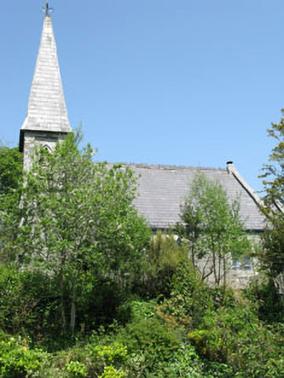 The Old Church Caféchurch/chapel · 1.1 mi
 The Blue PoolHeritage attraction · 1.2 mi
 Graveyard in CappyaughnaGraveyard · 1.3 mi
 Calf IslandIslet · 1.3 mi
 Friars IslandIslet · 1.3 mi
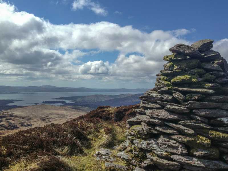 Barraboy Mountain SE TopMountain / peak · 1.4 mi
 Lady Bantry's LookoutViewpoint · 1.4 mi
 Barraboy MountainMountain / peak · 1.6 mi