What is recorded here
Three stones form an alignment just over 4m in length and orientated 54°-234°. The stones decrease in height from SW to NE and are 1.2m, .83m and 0.15m respectively in height above present ground level. The smallest stone is .45m high above the bottom of the pit that has been dug around it. Situ-ated in rough pasture land, on high ground overlooking Lough Salt.
The above description was derived from the 'Archaeological Survey of County Donegal. A description of the field antiquities of the County from the Mesolithic Period to the 17th century.' Compiled by: Brian Lacey with Eamon Cody, Claire Cotter, Judy Cuppage, Noel Dunne, Vincent Hurley, Celie O'Rahilly, Paul Walsh and Seán Ó Nualláin (Lifford: Donegal County Council, 1983). In certain instances the entries have been revised and updated.
Date of upload: 22 September 2008
Likely dating to the Neolithic or Bronze Age, this stone row may have had ceremonial, astronomical, or territorial significance. Such alignments are often associated with ritual practices or markers for seasonal events in prehistoric landscapes.
The monument record does not grant public access. Check the route and ask the landowner before entering private land.
- What survives
- Recorded monument
Places near here
 Loughsalt MountainMountain / peak · 1092 yd
 AltarAltar · 1.6 mi
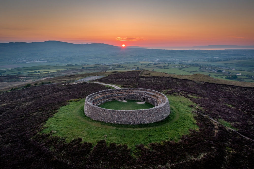 An Ghabhail Stone Ringfort and Man-made underground passageFairy fort / stone ringfort · 1.7 mi
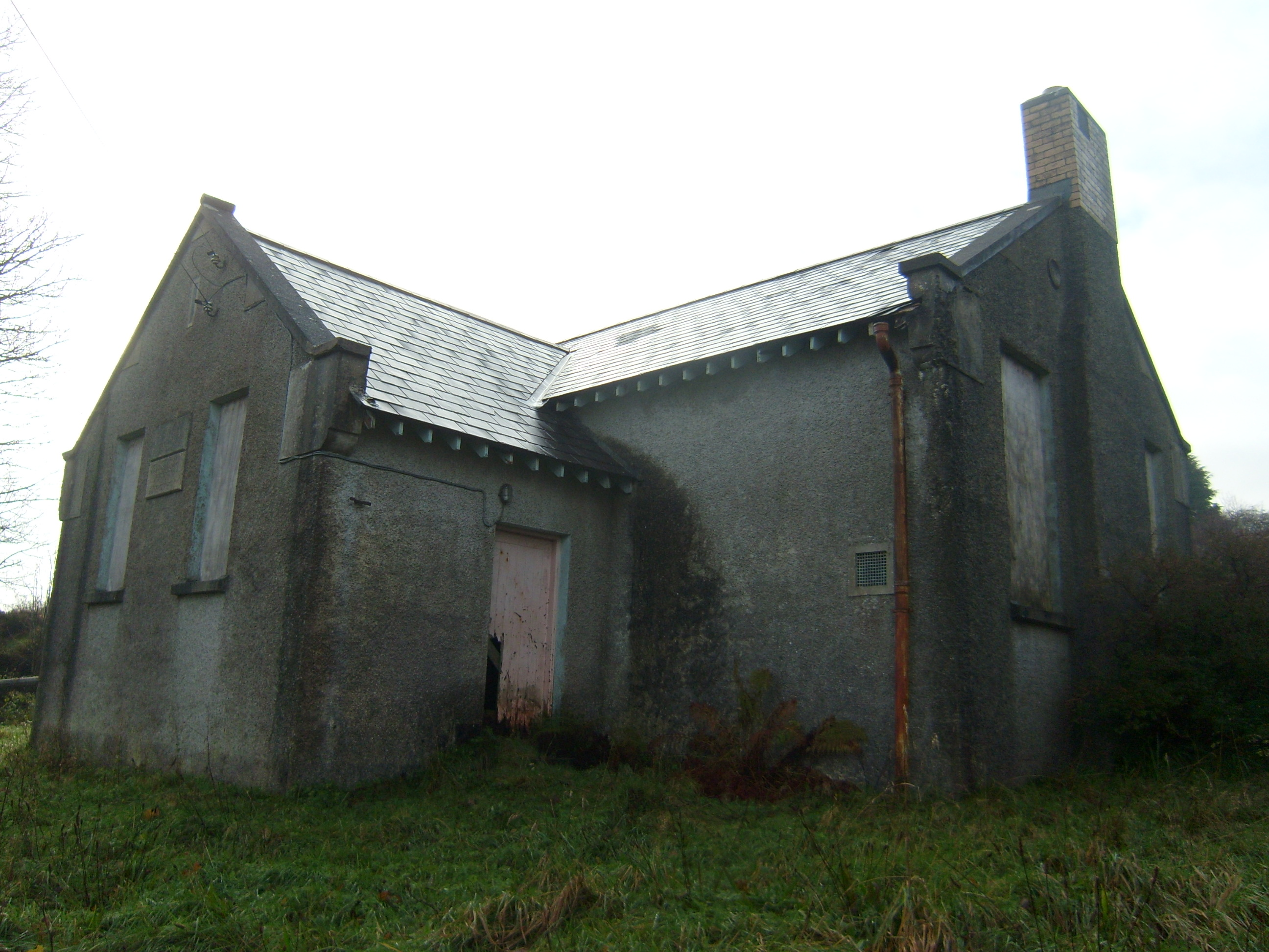 Carrownaganonagh National Schoolschool · 2.3 mi
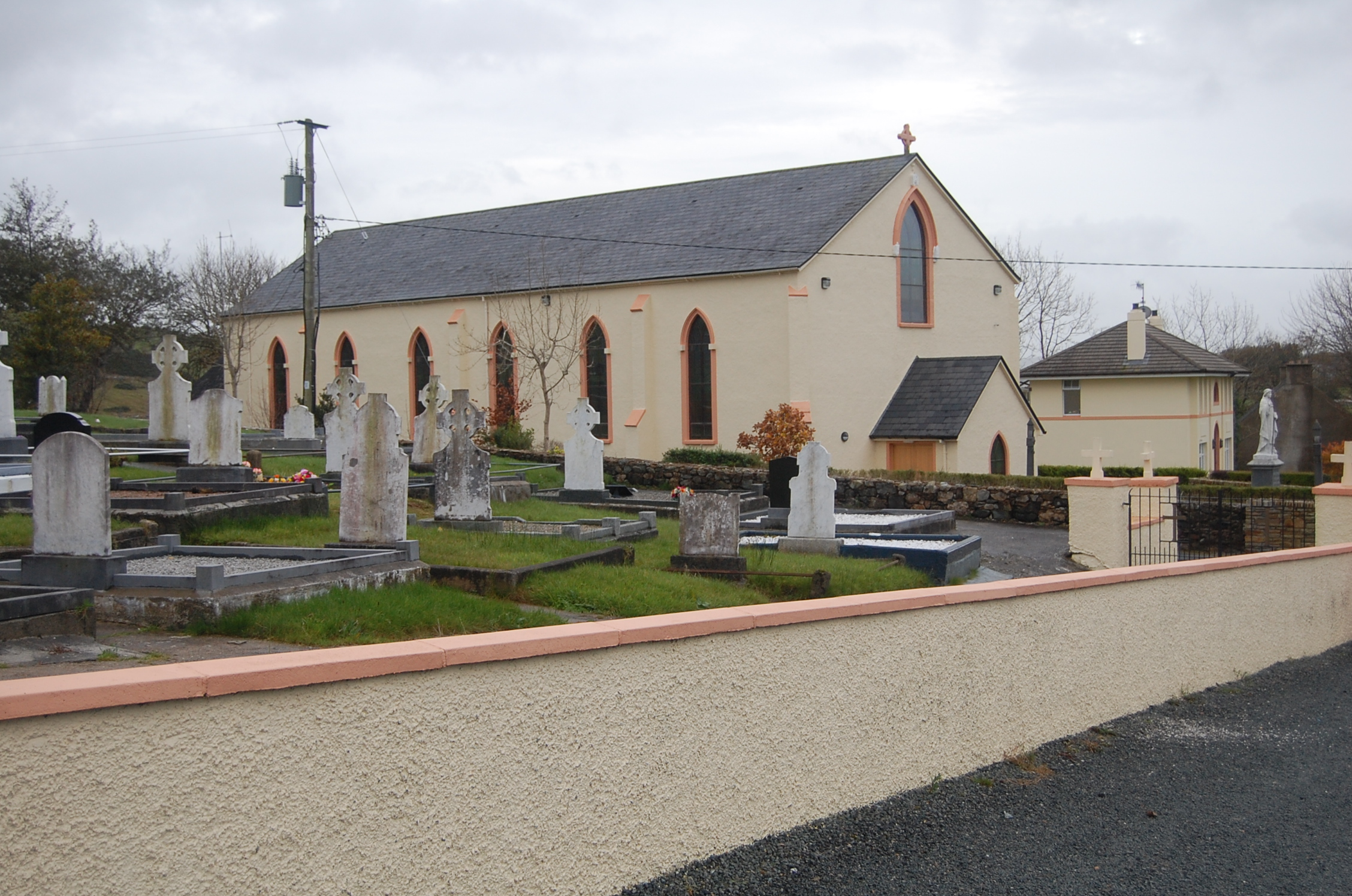 Saint Columba's Catholic Churchchurch/chapel · 2.5 mi
 Castle (Site of)Castle, unclassified · 3.7 mi
 Master Sword in StoneHeritage attraction · 4.1 mi
 Doe CastleCastle, tower house · 4.1 mi
 Silver BirchSilver Birch · 4.2 mi
 Duntally Wood Nature ReserveNature reserve · 4.3 mi
 Rough IslandIslet · 5.4 mi
 Cranberry IslandIslet · 5.7 mi