What is recorded here
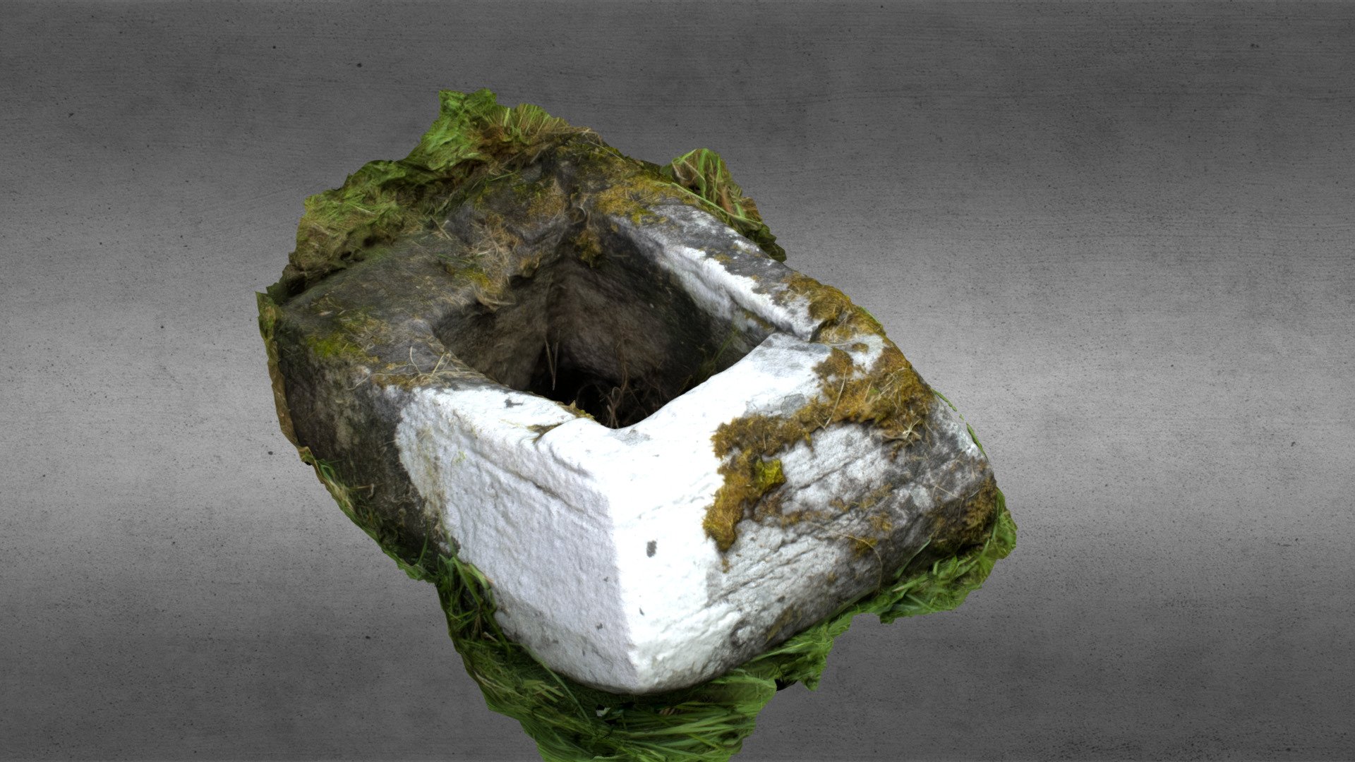
Marked only on the 1930 ed. of the OS 6-inch map, and situated on a gentle S-facing slope overlooking a W-E section of the Ogulla River, c. 50m to the S in an area which has been quarried. Described as a rectangular cist (dims c. 3m x c. 1.5m; H c. 1.8m) where bones were found on a platform at one end when it was discovered during quarrying c. 1885 (OS Name Book). It is not now visible at ground level in an area disturbed by old quarrying.
Compiled by: Michael Moore
Date of upload: 24 August 2010
The monument record does not grant public access. Check the route and ask the landowner before entering private land.
- What survives
- Recorded monument
Places near here
 Field system in Ballybeg (roscommon By., Ogulla Ed)Field system · 165 yd
 Man-made underground passage in Ballybeg (roscommon By., Ogulla Ed)Man-made underground passage · 326 yd
 Church in OgullaChurch · 534 yd
 ToberagullaSpring · 569 yd
 European ashEuropean ash · 584 yd
 RoadRoad, road/trackway · 930 yd
 Cruachan Aí Heritage CentreMuseum · 1380 yd
 CastleCastle, unclassified · 1435 yd
 CastlerubyCastle, unclassified · 2.0 mi
 War of Independence Commemorative Military MemorialMemorial · 5.0 mi
 Sweet ChestnutSweet Chestnut · 6.9 mi
 Workhouse MemorialMemorial · 8.6 mi