What is recorded here
Marked only on the 1925 ed. of the OS 6-inch map where it is described in italic script as 'Stone Crosses'. Two plain Latin crosses and the shaft of a third are situated on a rise in a low-lying landscape and on the E side of the N-S R742 road. They are probably 18th century in date. The most southerly is a granite shaft (H 0.26m; dims 0.24m x 0.28m). (Ranson 1948, 98-9)
Compiled by: Michael Moore
Date of upload: 4 September, 2012
The monument record does not grant public access. Check the route and ask the landowner before entering private land.
- What survives
- Recorded monument
Places near here
 Stone CrossesCross · 1 yd
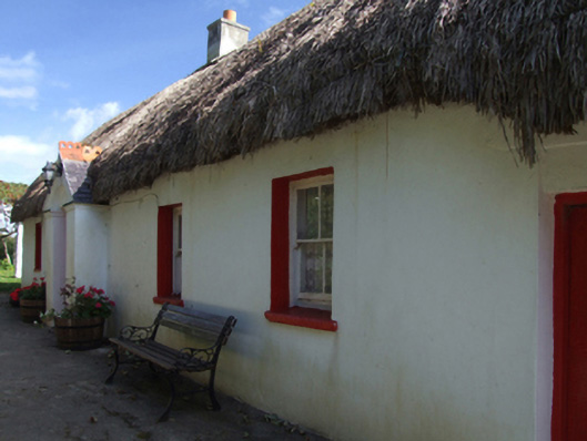 Little Thatchhouse · 715 yd
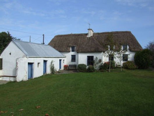 Rowanhouse · 898 yd
 71Mountain / peak · 1221 yd
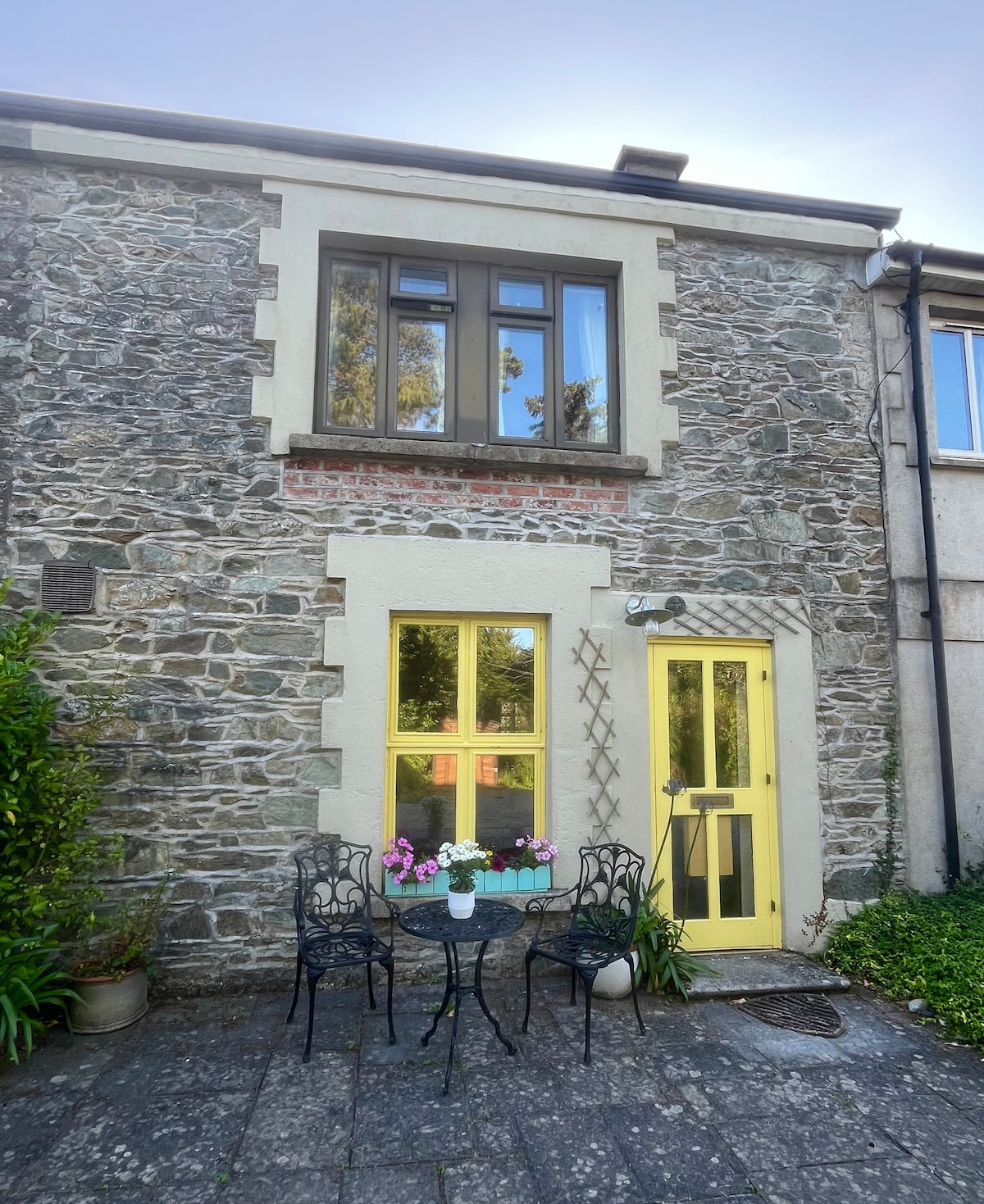 IndicatedCastle, motte · 1557 yd
 CastleCastle, unclassified · 1.3 mi
 Blackwater Coastal Erosion Monitoring PointViewpoint · 1.4 mi
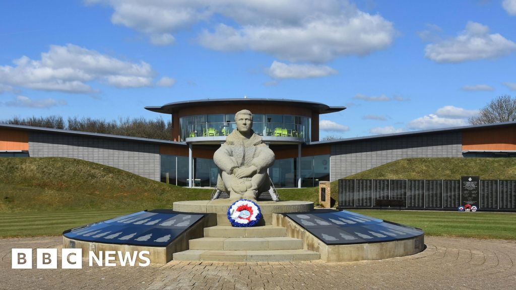 Memorial to The PomonaMemorial · 1.6 mi
 Site of Ballinesker CastleHouse, 17th century · 1.7 mi
 1798 Insurrection MemorialMemorial · 1.7 mi
 Ballinesker BeachBeach / strand · 1.8 mi
 Curracloe BeachBeach / strand · 2.7 mi